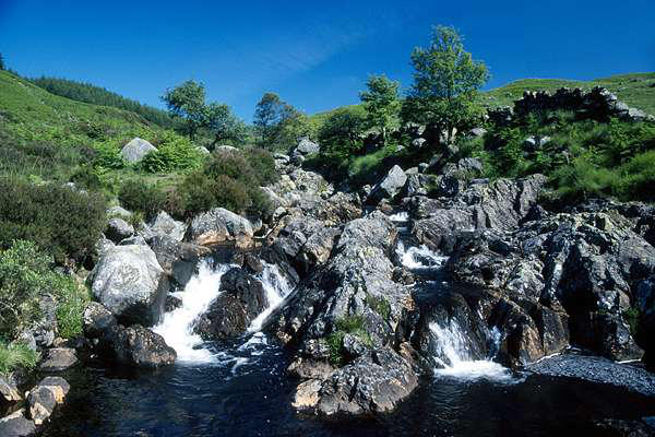
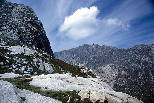
bed, looking terribly inviting every step of the
way. Leaving the stream at the head of the valley,
we ascended to "the saddle" - the col overlooking
Glen Sannox to the north-east - a superb spot for
lunch.
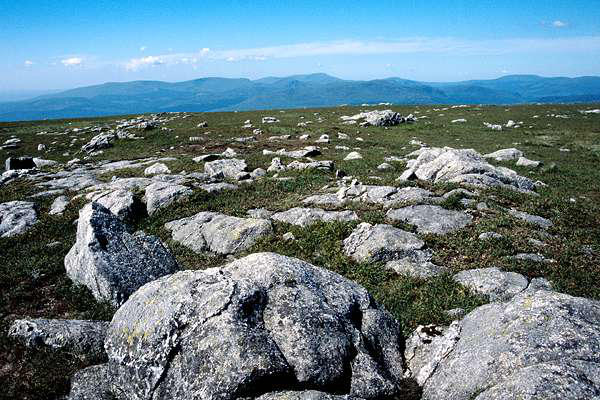
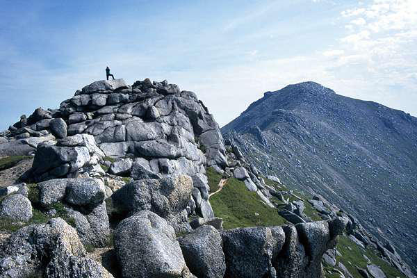
The climb now is steep, and a little exposed too,
and the rotting granite makes for some exciting
moments. The final ridge is formed of a line of
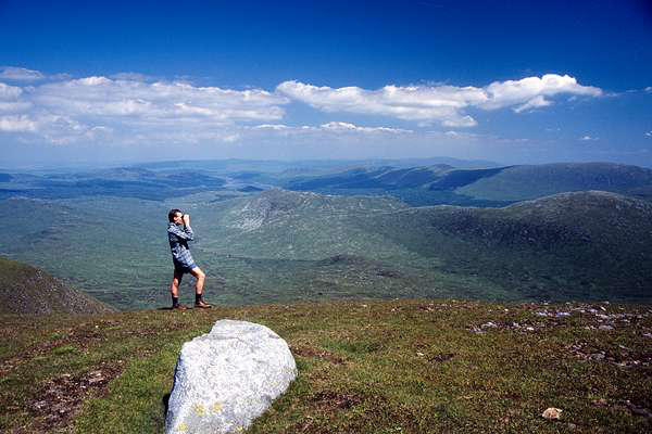
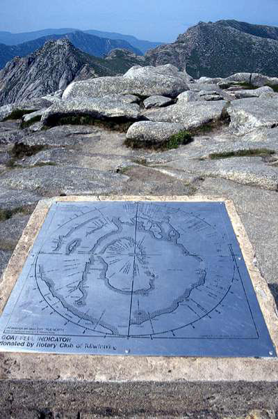
fine rocky tors; the summit, the highest point of the island, is
marked by a cairn and toposcope - which sadly was of little use,
the heat having caused a dense haze, so that we could barely
make out any of the interesting features displayed.
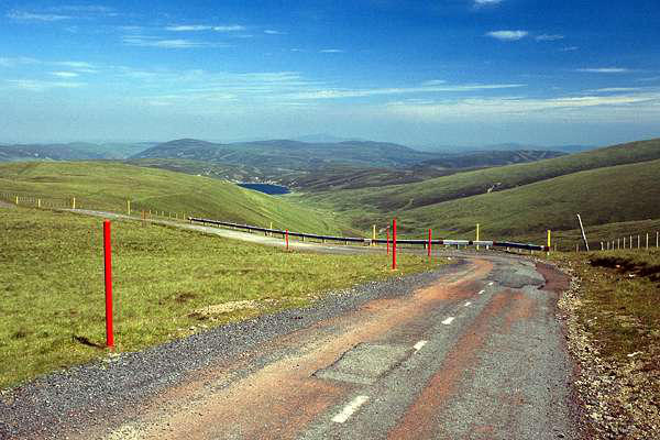
springboard for a short walk onto the hill,
and our short excursion to the summit of
Green Lowther, at 2403ft, proved little
more than a very pleasant stroll. Sadly,
once again a heat haze limited the more
distant views somewhat, as the sun beat
down from a deep blue sky.
And that was it - an excellent little outing completed an excellent
five day trip - all that remained was the long drive home again.
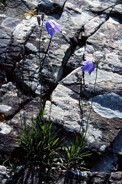
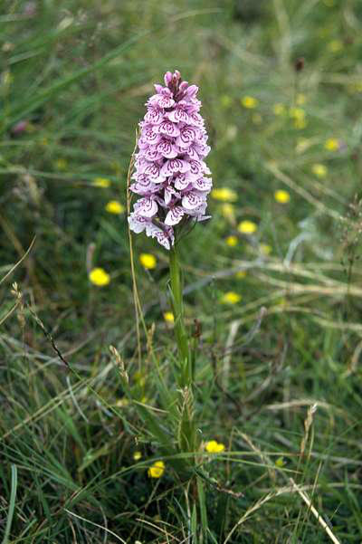
miles around the shore to the King's Cave, an
interesting sea cave - but not really a suitable
subject for photography, unlike the orchids which
grew in profusion along the path.
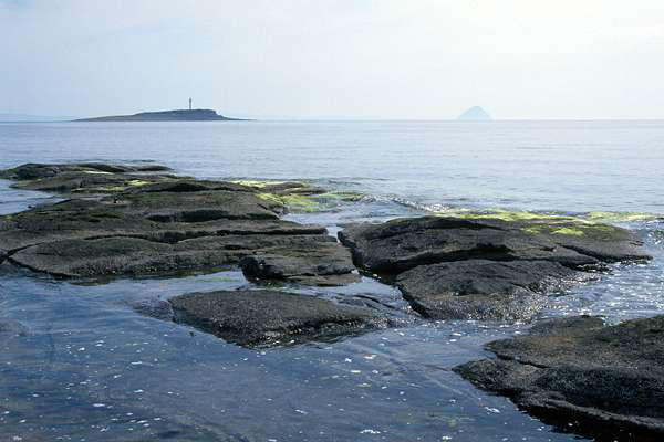
We drove on down to the southern tip of the
island at Kildonan, where we had just sufficient
energy to explore the rocks on the shore, catching
crabs in the pools whose water was becoming
warm in the baking heat. The tiny islet of Fladda lies just to the
south, and further away can be seen (just) the remarkable dome
of "Paddy's milestone" - Ailsa Craig.
Well, it was just too hot for anything else!
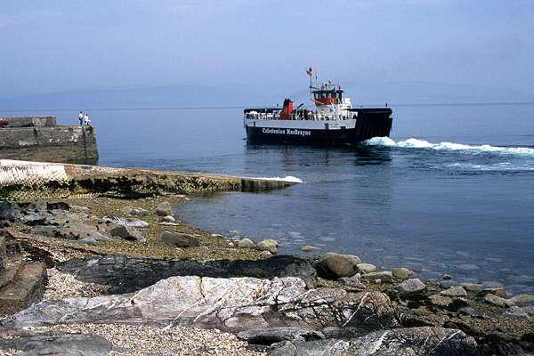
We drove around the island, stopping first
at Lochranza, where we watched the ferry
depart for Claonaig on the Kintyre
peninsular. I had followed the Ardrossan -
Arran - Kintyre route some years earlier,
when I took the family around the Western
Isles, using a Cal-mac "Island Hopscotch"
ferry rover ticket - great fun!
Next stop was Blackwaterfoot on the
western coast, where we walked the 2

Five very hot days in South-West Scotland and Arran - July 1996


We drove up the M6, taking the Stranraer road from Gretna, and
headed for Newton Stewart, where we would be staying the
night. In the meantime our objective was Cairnsmore of Fleet, at
2329 ft. a significant height to the north-east of the Cree estuary.
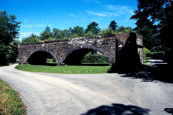
We parked by the remains of the somewhat
stunted viaduct and walked through Cairnsmore
and out onto the fell, which is somewhat
afforested in its lower reaches. The fairly level,
stony summit provided a warm resting place for a
few pleasant minutes, before we began our
descent via Eastman's Cairn and the wilderness to
the west. I have to admit that our route finding
went somewhat awry here, and it was more by good luck than
good judgement that we found out way back to the car

Day 1: Cairnsmore of Fleet


Day 2: The Merrick
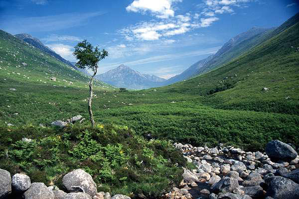
We took our leave of Newton Stewart, and headed for Glen Trool.
The path to the Merrick, at 2675 ft. the highest point in south-
west Scotland, is clearly signposted, following the attractive
cascades of the Buchan Burn, then heading off into the forest past
Culsharg and out onto the open fell. The ascent to the subsidiary
summit of Benyellary is a steady pull, rewarded with fine views
and a good stroll to the main summit of the Merrick.
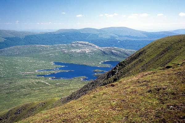
We descended to the east, to the fine sandy shores of Loch
Enoch, and could have spent several idyllic hours there cooling
our feet - until we began to consider how long it would take to
drive to Ardrossan, where we were booked on the day's last
crossing to Brodick. "Come on, we're going"...
...and our lazy afternoon turned into a route march back to the
car followed by a frantic drive north to the ferry. We arrived at
the tail of the queue, and were called forward onto the
"Caledonian Isles" before we had time to put on the handbrake...

Day 3: Arran - Goat Fell


Day 4: Lazing


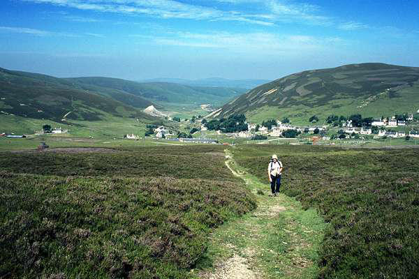
Day 5: Homeward - via Wanlockhead and
Green Lowther
Taking the first sailing from Brodick, we crossed once more to
Ardrossan and headed towards Kilmarnock and the Nith valley. At
Mennock we took the twisting hill road to Wanlockhead. The
village, at around 1500ft above sea level, provides an ideal
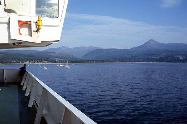
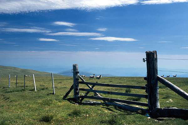
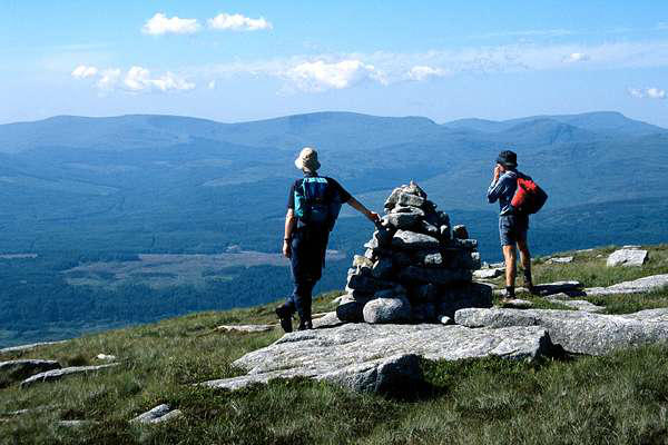
The highest point of Arran's northern hills is Goat Fell, 2866ft. -
not a Munro, but every bit a mountain, with high craggy outcrops
of crumbly pink granite.
We set off up Glen Rosa on a day even hotter than the past few
days. The stream here runs clear along its salmon-pink granite

Walks with a Camera © Geoff’s Pages 2011