Mist and wind on the lonely heights of the Welsh border country. Approx 8 miles - February 2005


Walks with a Camera © Geoff’s Pages 2011
We'd booked the first Friday in February some time in advance -
"lets hope for a decent day". Well, it was a decent day - though
the weather wasn't quite all we'd hoped for...
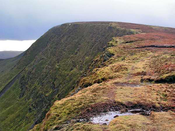
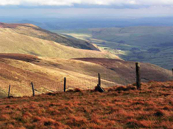
The Berwyn mountains rise to a good height - 2712' in the case of
Cadair Berwyn, our objective. However, they are not much
visited, and there are few paths. Our route, nearly 9 miles, would
at best follow faintly trodden ways, until reaching the summit
ridge where there is a reasonably clear path. And we never saw a
soul, from leaving the car until we were within half a mile of it
again on our return.
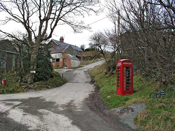
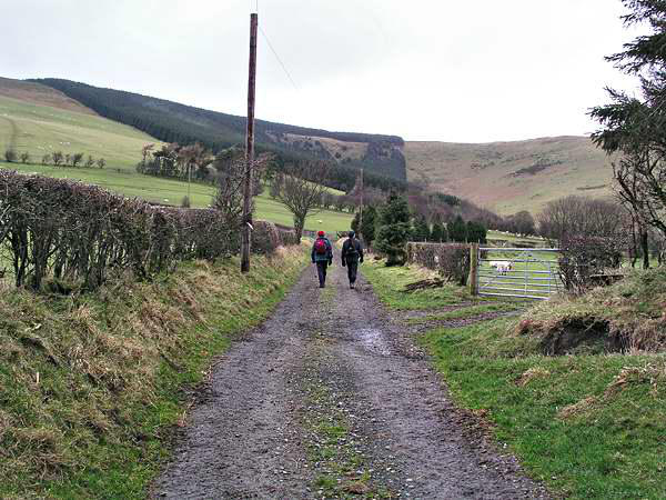
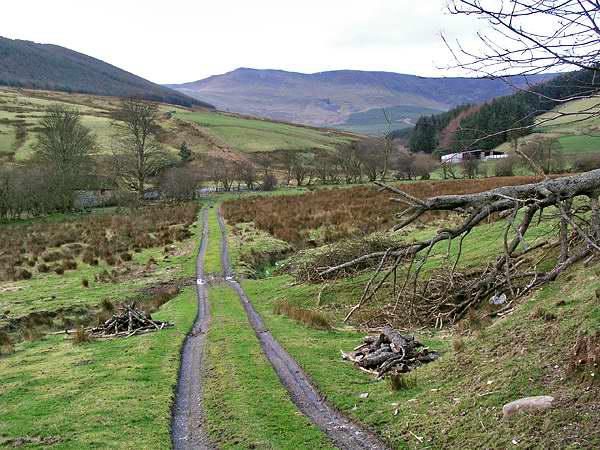
Our outward route followed that described in Walking Britain -
walk x031 - starting from near Tyn-y-Ffridd farm, where there is
space for a couple of cars by the bridge over the Afon Iwrch. A
reasonable route takes one up the side of a plantation to the
crest of a long ridge running eastwards from the main Berwyn
summit ridge - starting with the 2230' Mynydd Tarw, crossing 2265'
Foel Wen and 2431' Tomle, before climbing steeply onto the
summit ridge.
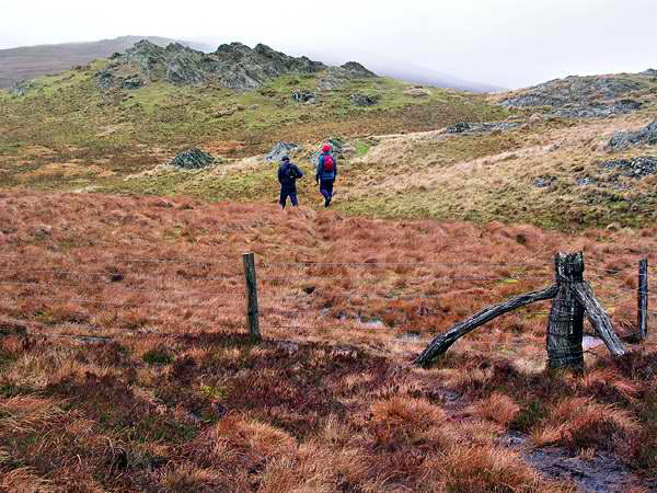
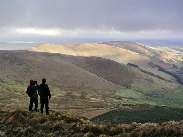
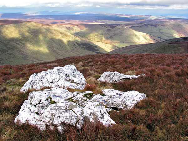
The day had started rather dull, with mist over the highest
ground and a biting south-westerly wind. A rocky crest provided
shelter for lunch near the top of Foel Wen; our fingers were numb
with cold by the time the sandwiches had been disposed of. There
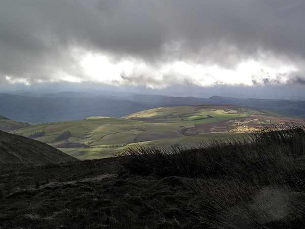
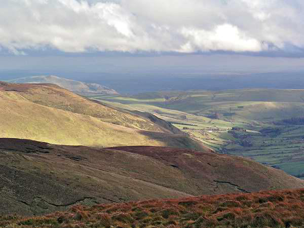
was clearly some hope for the weather - breaks here and there in
the cloud produced spotlights on distant hills, and at one point a
clear view opened up, across the Dee valley to the north, to the
distant Vale of Clwyd. On the horizon, buildings could be seen
around Rhyl and Prestatyn, some 30 miles distant.
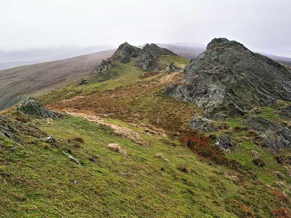
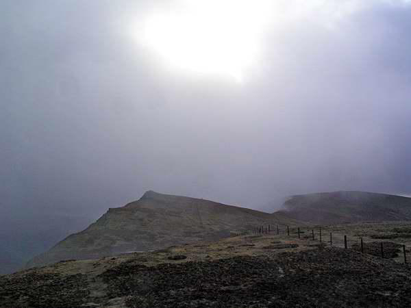
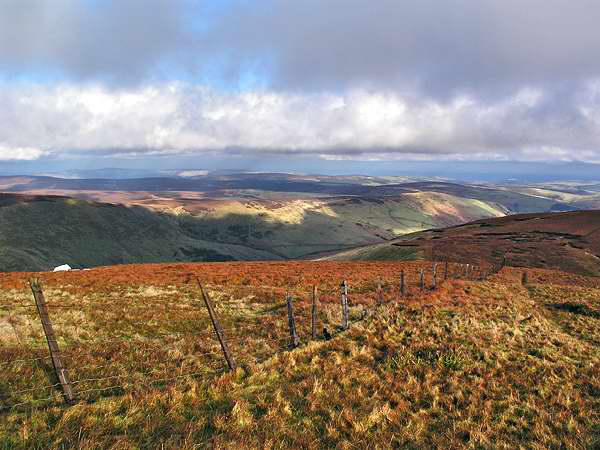
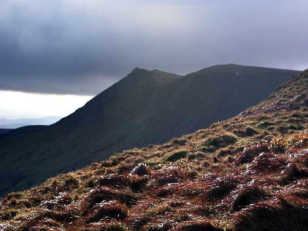
As frequently happens on these trips, the mist cleared from the
summit from time to time as we approached the ridge - only to
close in on us and restrict what could have been a tremendous
view westwards. Glimpses of the area to the north-west, and the
A5's route to Holyhead, gave us some clues as to what we might
have seen.
We paused at the top for long enough to say we'd been there,
then, with no sign of an immediate improvement in visibility, we
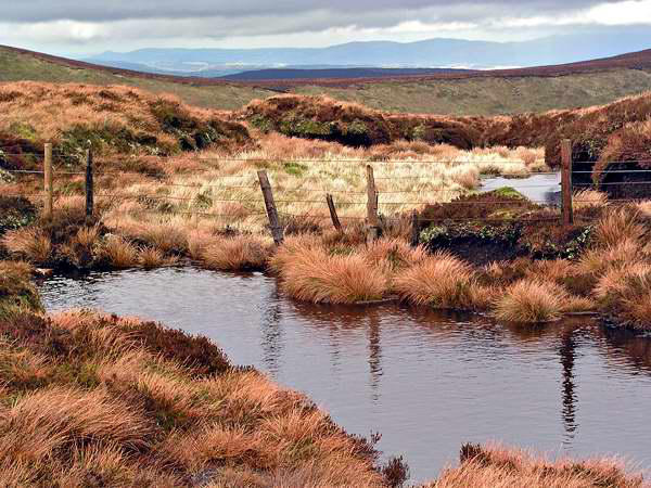
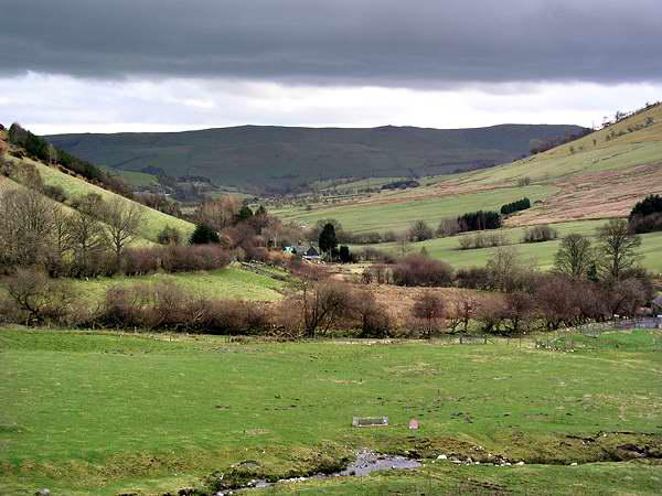
retraced our steps. An ancient pathway crosses the main Berwyn
ridge from the Llandrillo area, and descends into Cwm Maen
Gwynedd. So did we - and what a relief it
was to get out of the wind. Inevitably, the
summit was by now clearly visible, and
remained so for the rest of our walk, back
down this quiet, lonely valley to Tyn-y-
Ffridd and the car.