To the top of Shropshire's highest hill, from the eastern side - 7 miles - August 2009


Walks with a Camera © Geoff’s Pages 2011
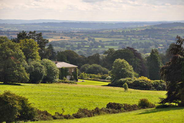
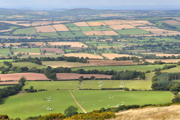
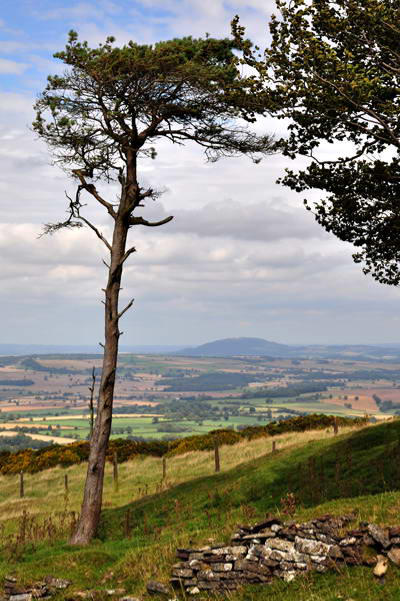
Brown Clee and Titterstone Clee hills stand
somewhat apart from the rest of the south-
west Shropshire hill country, and given that
Brown Clee is also the county's highest point,
at 1772', they can be seen from many miles
away. On this reasonably clear day we were
able to appreciate the distant views that
open up from the higher ground.
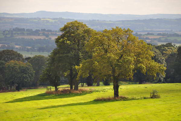
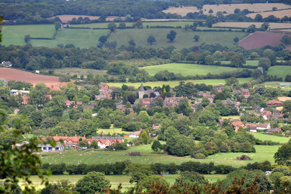
We started out from the picnic area about a mile to the west of
Cleobury North, and followed the public bridleway through the
Boyne estate almost as far as the main Bridgnorth - Ludlow road.
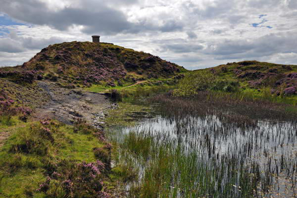
About 300 yards short of the road, another track leads to the
north-west, climbing steadily until, the gradient easing, it swings
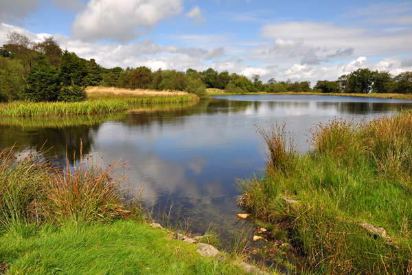
towards the north past the attractive little Boyne Water, an
artificial lake created remarkably close to the summit ridge.
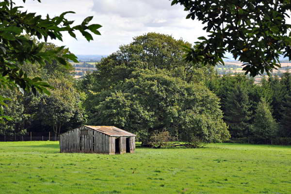
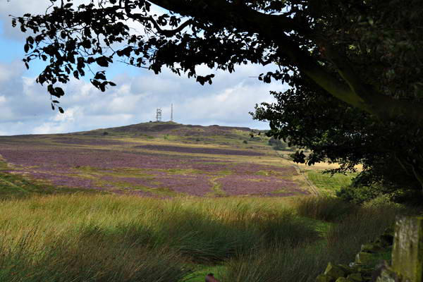
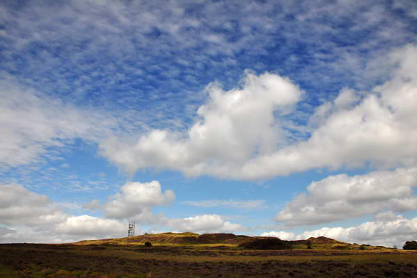
The summit is not pretty - a pimple on the highest part of a
gently-sloped plateau, pock-marked by the quarrying which took
place in the first part of the 20th century, with modern
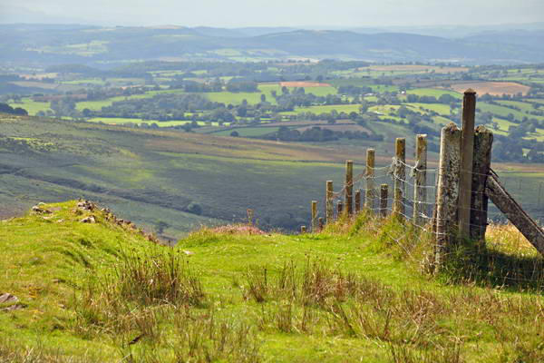
communications equipment adding a space-age feel... A fairly
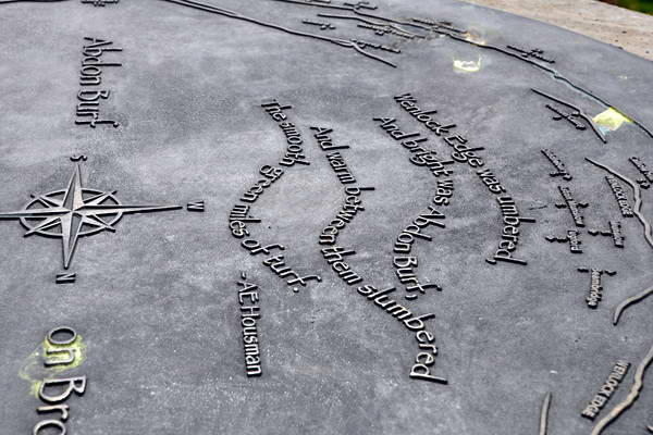
new toposcope outlines the views, actual and
potential - we could make out Hay Bluff,
some 40 miles to the south-west, but not the
Brecon Beacons a few miles beyond.
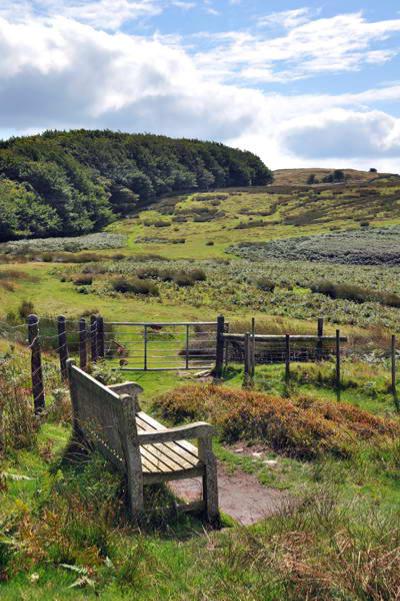
I'd thought of descending a footpath which
connects the summit fairly directly with the
picnic area - but time and energy were still
on our side, Ditton Priorsand instead we followed the line of an
ancient wall down to the northern tip of the access land, then
following the contours, more or less, to the former railway incline
which once took standard-gauge wagon between the quarries and
Ditton Priors. Rather than following the
incline to the road, we cut off part way
down and skirted the woodlands,
ultimately joining the aforementioned
footpath back to the car.