Five days wandering in the southern Lake District - July 2002


Walks with a Camera © Geoff’s Pages 2011
Arriving in Coniston in time for lunch, we visited a likely looking
hostelry - a ploughman's lunch seemed appropriate. And a good
one it was too - sadly let down by the bread - one small soft soggy
roll, microwaved so that it was hot and rubbery - yuk!
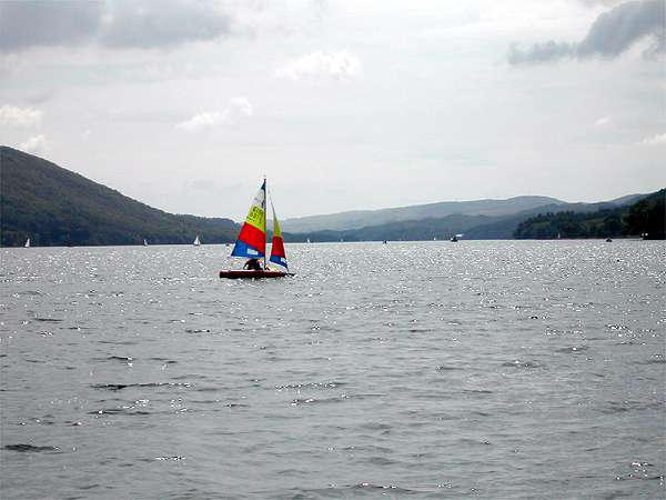
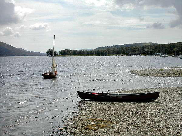
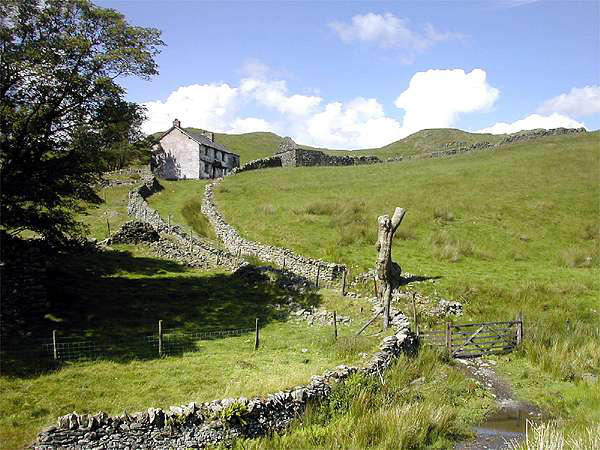
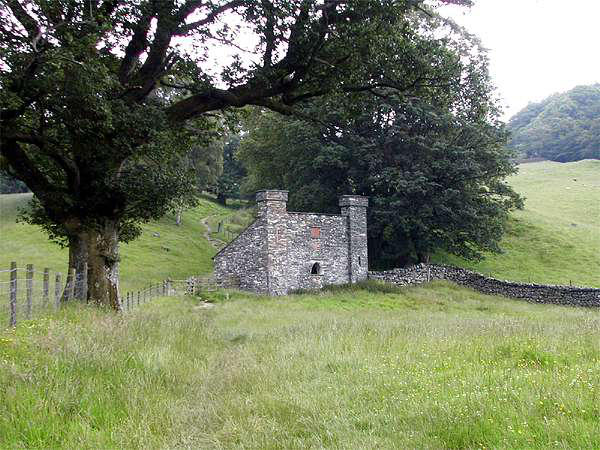
We'd missed the 12.40 sailing - so we made our way to the lake
and joined the 2.40pm sailing of the south lake service to Park a
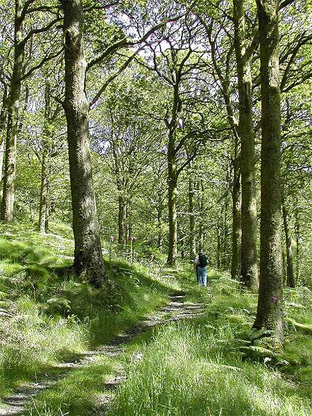
Mor jetty, on the east side of the lake below Top o' Selside. A path
winds its way up through the trees to the low ridge, where we
followed the main path northwards. After a while the path enters
the western fringes of Grisedale forest, and after a mile or so
another path descends to Lawson Park, then gradually contours
downwards until it meets the road, which we followed back to
Coniston.

Day 1: a gentle start...


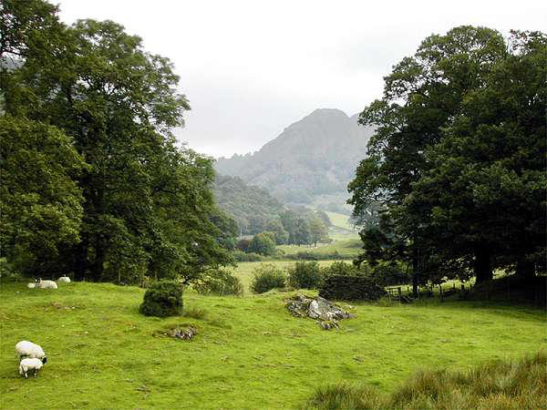
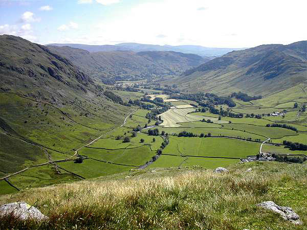
Day 2: The Old Man
...via Dow Crag, and then the ridge to Swirl How.
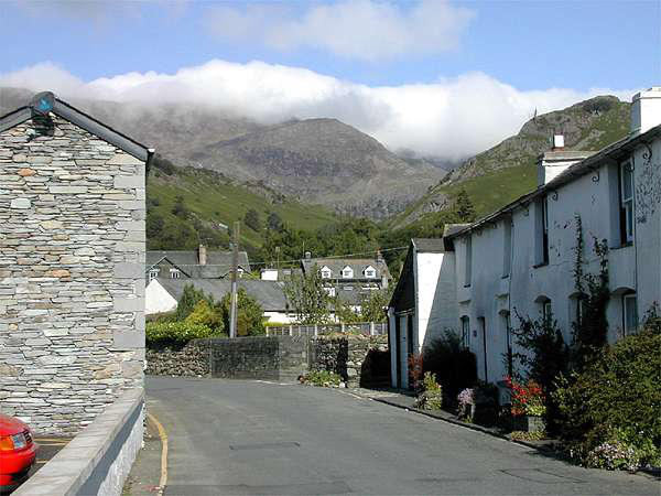
Almost the steepest part of this route is the start of the Walna
Scar road out of Coniston. The road was somewhat busier with
vehicular traffic than we'd expected - the reason becoming clear
as we came to the open moor, where the previous night's rave
party was gradually dispersing. "Just a few locals having a bit of
fun" explained one of the few who were standing and able to
communicate, somewhat evasively...
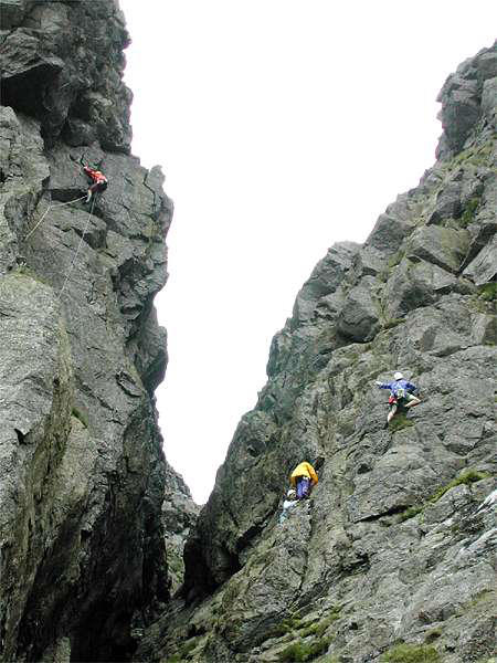
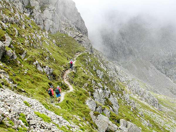
Last time we ascended Dow Crag (some 12 years ago - see
Coniston Sunrise), we had followed the Walna Scar road to the
ridge. Today we took a more adventurous route - via Goat's Water
to the foot of the crags, thence scrambling up Wainwright's "South
Rake" to the summit ridge - great fun!
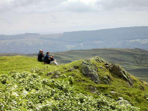
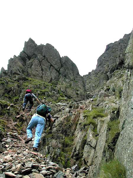
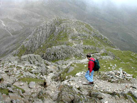
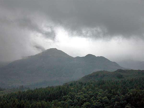
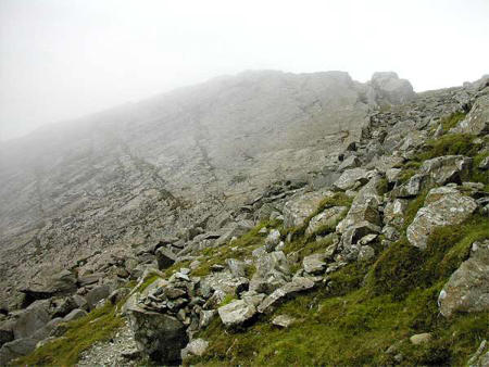
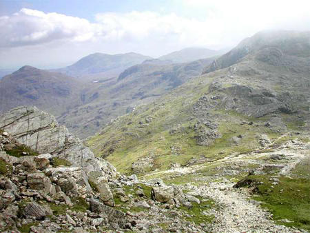
Time for lunch! - then onwards to the Old
Man, via Goat's Hawse. The cloud was
lowering, and by the time we reached the
summit, Levers Water, the view was
somewhat intermittent ("It's John's fault -
we never get to see the views when he
comes!"). Just a brief
pause here, before retracing our steps for a
short way on the ridge, via the grassy top
of Brim Fell, to Swirl How, at the hub of
the Coniston fells. Little point in hanging
around here either - so down to Swirl
Hawse and the long descent, via Levers
Water and the coppermines, to Coniston.

Day 3: Low level - to Elterwater


Day 4: Bowfell and Crinkle Crags


Day 5: Home - via Ease Gill
Well, with the cloud base little over 1,000 feet, there wasn't
much point in going any higher. At least it didn't rain - though at
times it looked like it might...
This was a route that took a little working out - it looked a
reasonable distance on the map - should make a good full day
outing.
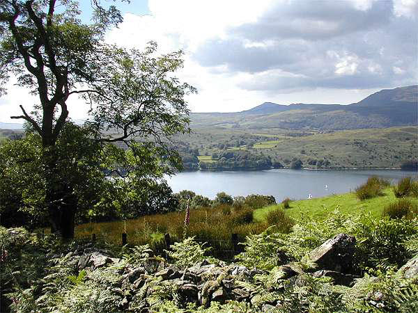
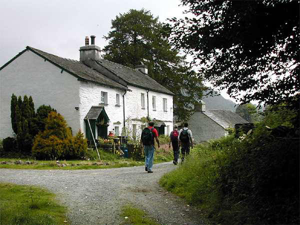
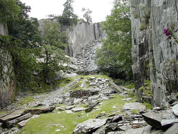
We left Coniston village and headed, mostly by field paths, to
Tilberthwaite Gill, where we paused for a little while to look at
the old workings.
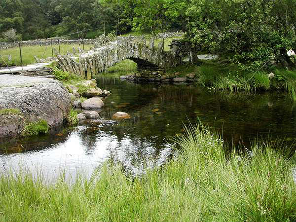
On then by an interesting hill path to Slater
Bridge, thence via the rough track to Elterwater
village, where, it being lunchtime, we made for
the pub. Well why not!
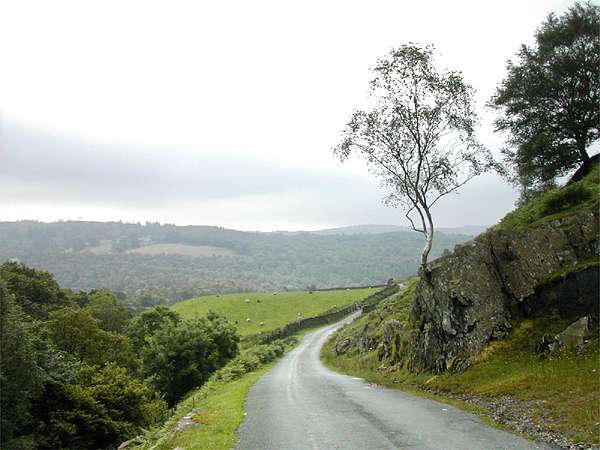
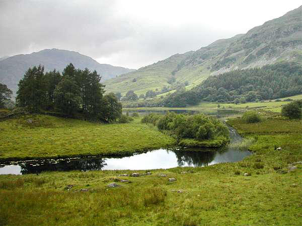
A pleasant, if somewhat popular path follows the
river downstream, past the lake, to Skelwith
Bridge. We then had little alternative but to walk along the main
road southwards for about ¾mile, where a fell path winds below
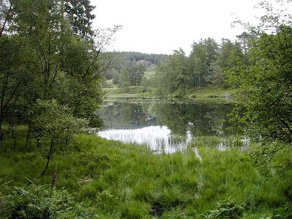
the 1056' top of Black Fell to the even
more popular (and deservedly so) Tarn
Hows. Lastly we began the descent through
the forests back to the north end of
Coniston Water, and so back to the village
"Spot on 5 o'clock too - well done Geoff".
No, we didn't walk there from Coniston. We took the car to
Dungeon Ghyll in Great Langdale.
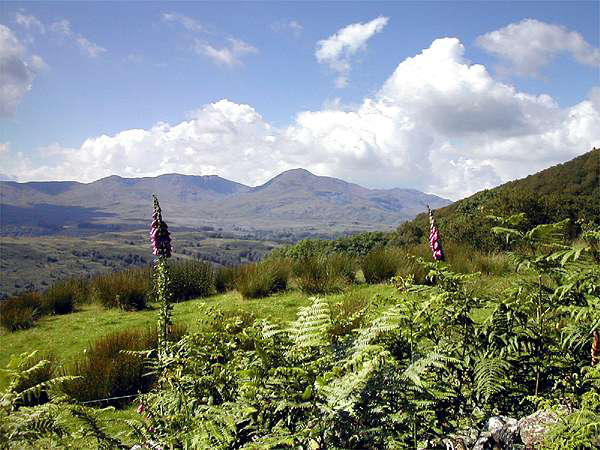
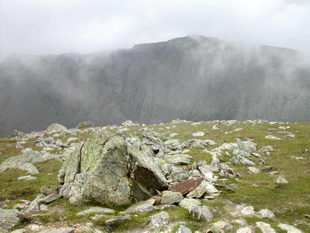
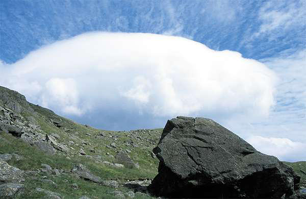
The weather looked good - sunshine, just a little puffy white
cloud clearing gradually from the tops...
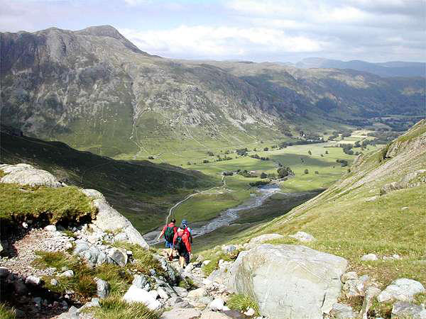
This deservedly popular route needs little explanation, though, as
with Dow Crag, we made a slight detour. We began our climb on
the Band, the long ridge which leads directly to the summit of
Bowfell. Nearing the summit, however, we followed the climbers'
traverse to the foot of Cambridge Crag. Wainwright describes a
waterspout issuing from its foot - I've only ever seen a good
trickle. But he was right in one respect - "nothing better ever
came out of a barrel or a bottle". An easy rake then ascends
beside the unusual slab of Flat Crags. Sadly, once again the mist
had come down.
Someone had planted a Welsh flag on the summit! Admittedly, it
was a very small one.
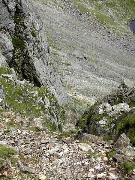
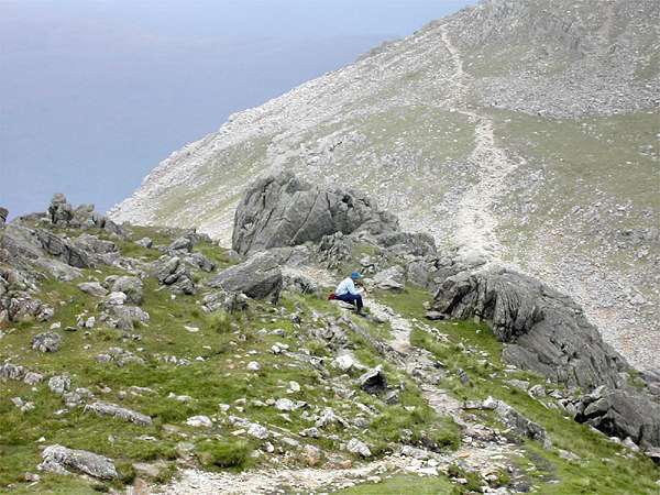
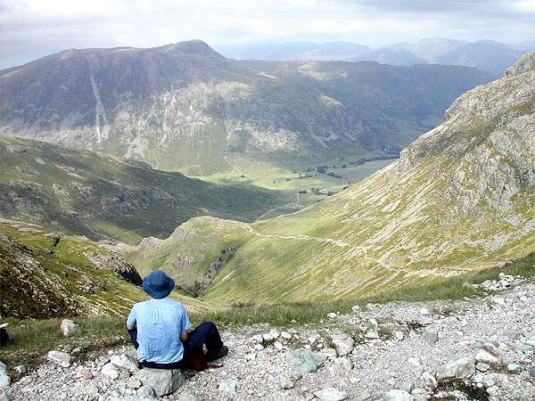
A stony descent takes the path to Three Tarns ("more like two and
a bit"), where the climb begins to the fascinating ridge of Crinkle
Crags. Not that we could see much beyond the immediate
foreground...
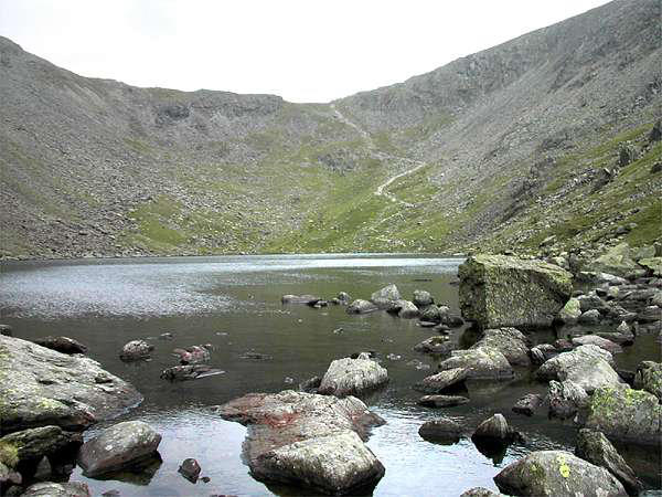
Eventually, the promised difficulties at the
"bad step" (for some of the older members
of the party anyway) began our long
descent via Red Tarn back to Oxendale, and
thence to Dungeon Ghyll - for a well-
earned pint before the short trip back to
Coniston.

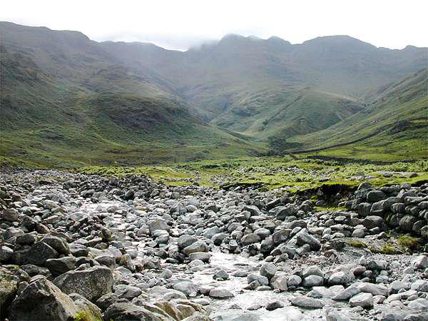
No, not near Coniston. A short detour from the M6 takes one to
Kirkby Lonsdale, where a hill road leads to Bull Pot Farm - home
not of farmers but of potholers - for this is limestone country.
Close to the farmhouse is the wonderfully-named Bull Pot of the
Witches; further on we stopped to have a look at Cow Pot and
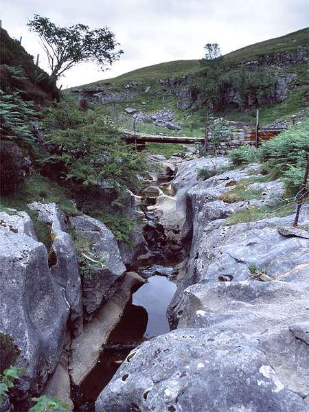
Lancaster Pot. Ease Gill itself is a dry valley at this time of year,
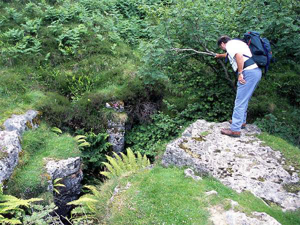
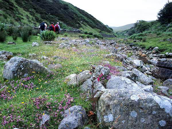
though here and there are
traces of water. There are
numerous potholes along its
length - we passed a couple of
parties of troglodytes (on the
surface, I hasten to add) - a
small pig-tailed child was about to descend. We
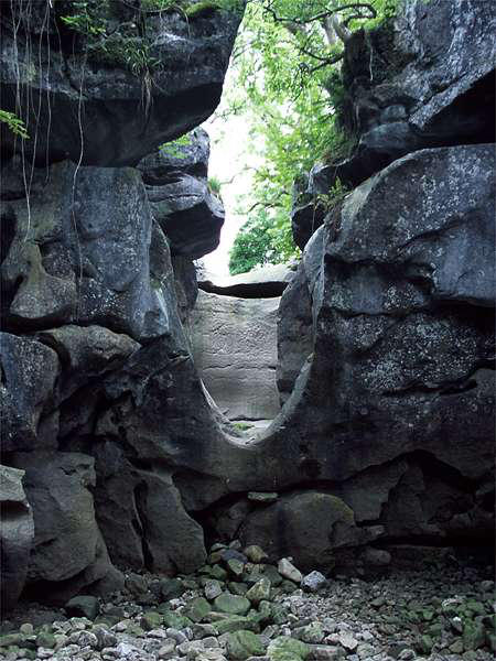
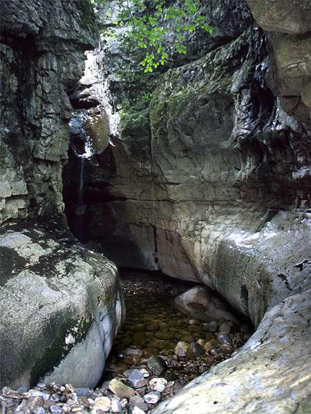
contented ourselves with the surface attractions
- a superb little limestone gorge higher up the valley, and, lower
down, Ease Gill Kirk, another fine gorge.
I don't think we spent more than a couple of hours on this little
expedition, but in many respects it was one of the highlights of
the trip - a fine end to a excellent short holiday. Oh, and once
again, five days with not a drop of rain, in this otherwise
exceptionally wet month.