trains too...
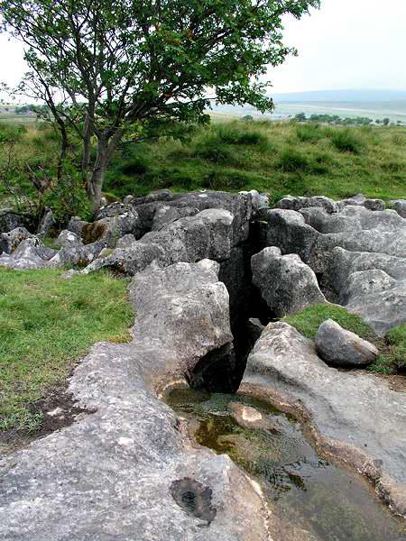
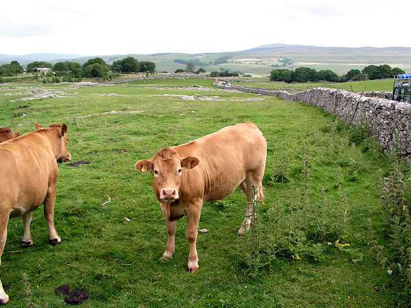
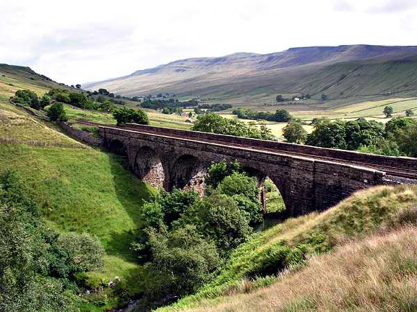
We gained the open fell where the road crosses
the line, and headed past Ais Gill viaduct,
stopping a little while to look at Ais Gill itself, a
fine rocky ravine. We then began to climb slowly
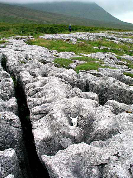
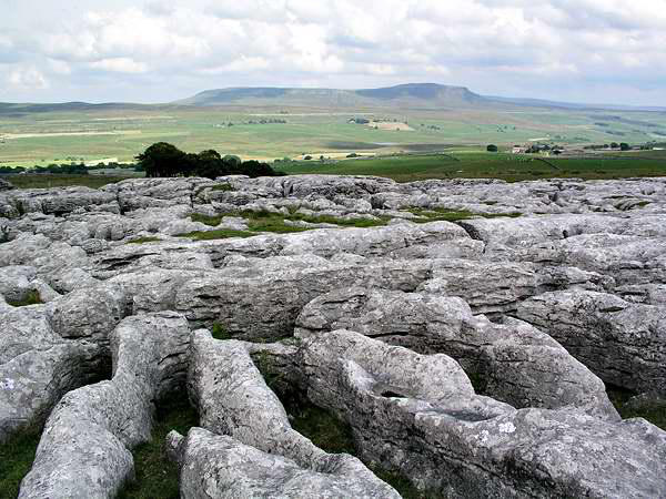
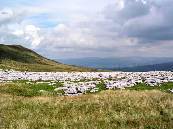
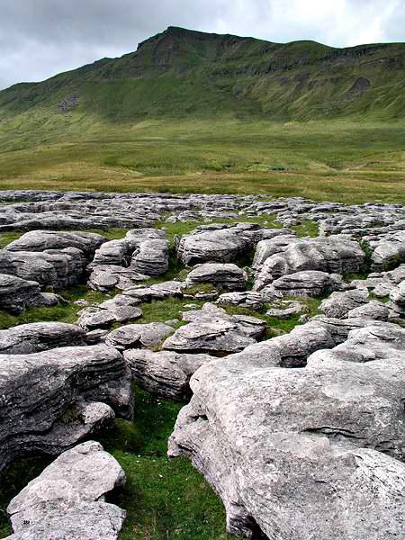
past Angerholme pots, a line of shake holes and
potholes, before gaining the summit ridge a
little way beyond some fine patches of limestone
pavement.
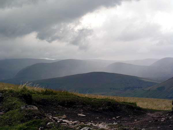
Up to this point, our view had been entirely to the
east - now we could see to the west too - and it was
clear that the weather was not so good in that
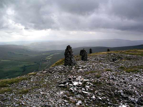
direction. The skies gradually darkened, and a little
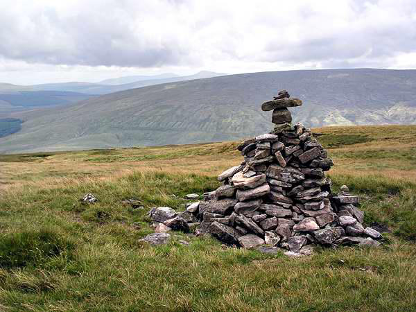
while after lunch, as we inspected the fine cairns
overlooking the railway, the rain began, a hard,
stinging rain that made it very difficult to walk, our
route taking us straight into the wind. Then, after half an hour or so of
misery, it stopped, and a little while later the sky cleared - and for the
rest of the route, we had a fine afternoon.
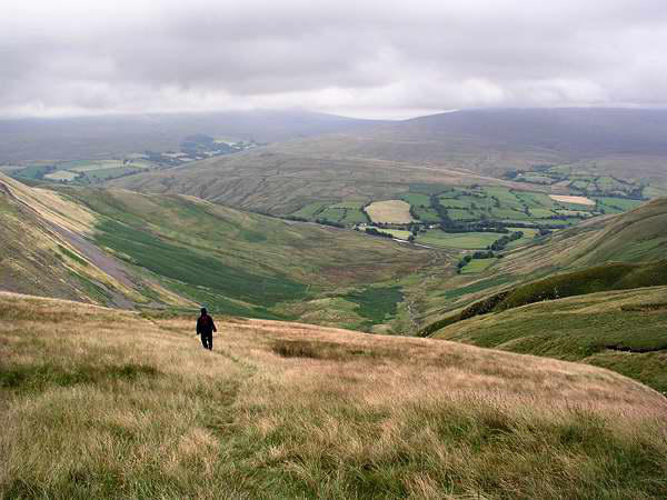
We descended from Wild Boar Fell along the ridge onto Swarth Fell and
beyond, before picking our way down to the road a mile or so south of
Ais Gill - then back to the car and back to Dent.
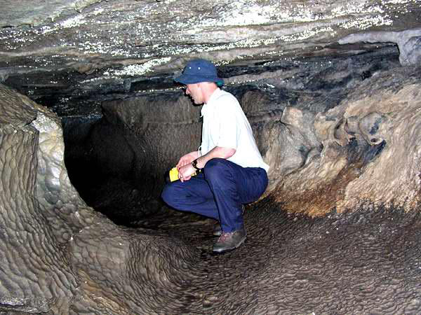
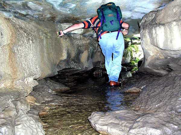
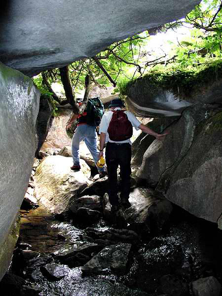
we made a brief exploration of the fascinating tunnels and
watercourses (without straying too far from daylight), before
eventually returning to Selside.
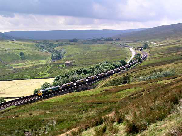
The railway can be seen from much of the
short walk, though there is a stretch where
the line is just obscured by a low ridge -
which, of course, is where we were when a
long, steam-hauled train passed....

Wandering in the western dales - July 2003


Walks with a Camera © Geoff’s Pages 2011
The trip proper started with our arrival at the Hill Inn, Chapel le
Dale, where we had an excellent lunch snack, before heading for
the hamlet of Selside, beside the Settle - Carlisle railway line.
"There's a special due through today - hauled by 'Princess
Elizabeth' - due off Garsdale about 4.30". Perhaps we would see
it?
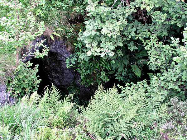
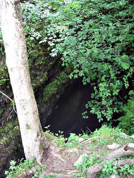
We dutifully paid our 50p admission (Alum Pot and the associated
caves are on private land) and headed up the lane. Alum Pot is a
fearsome hole in the ground, over 200 feet deep, marking the end
of a system of caves below the moors a little higher up. A
particular curiosity is that the waters which gather in the pot
finally join the river Ribble from its opposite bank....
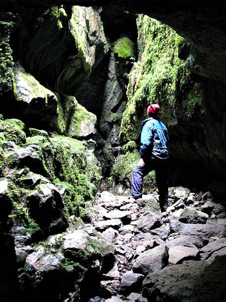
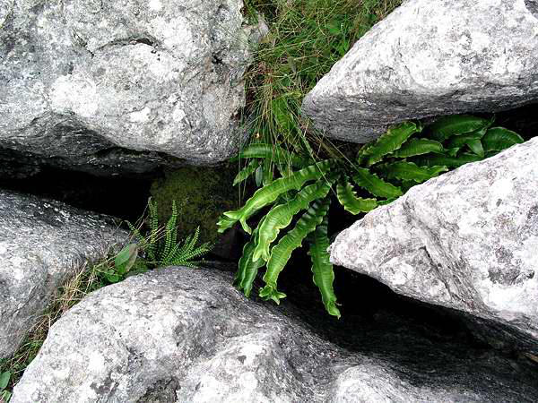
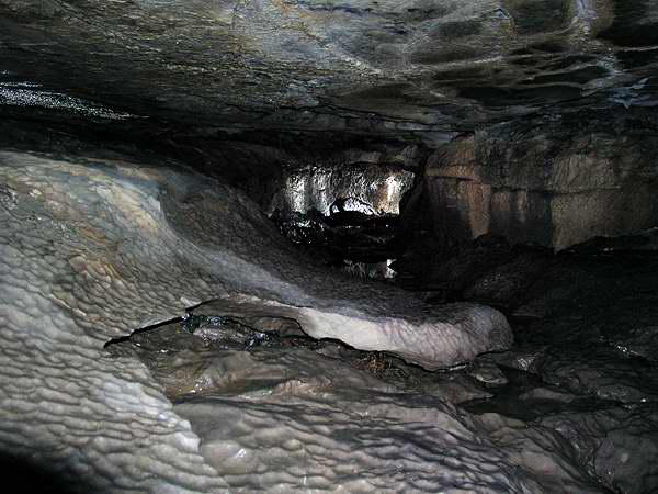
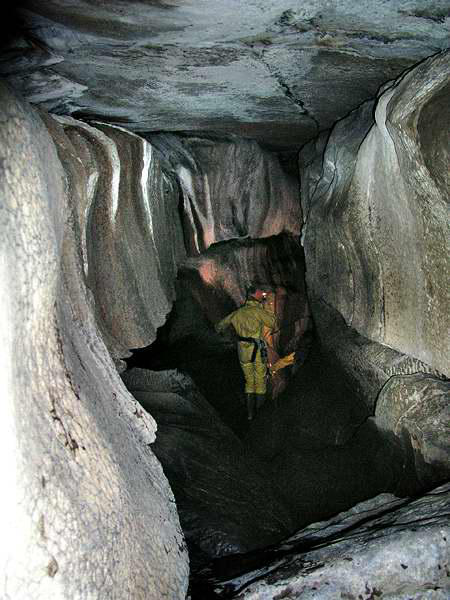
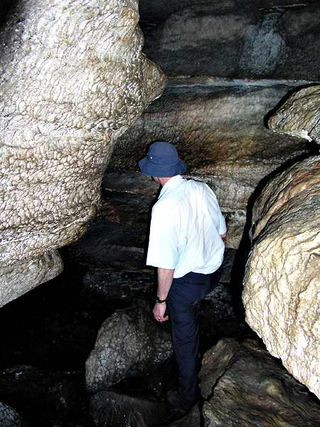
Above the pot, the Long Churn cave system can be entered at
points where its low roof has collapsed, and with torches in hand,

Day 1: Alum Pot


Day 2: Whernside
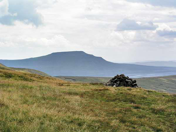
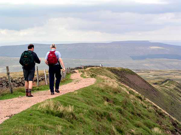
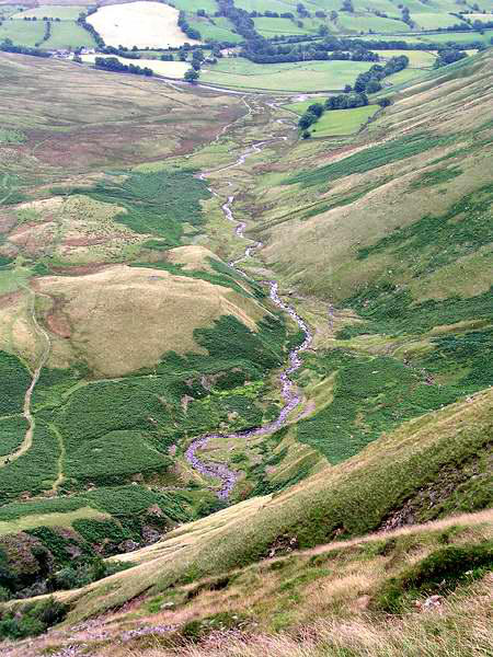
I've stood near Ais Gill summit, on the Settle and Carlisle railway,
many times - usually waiting for a "steam special" slogging its way
up Mallerstang, and gazed up towards the summit of the cragged
fell which overlooks the line. Wild Boar Fell is reputedly the last
place in England where a wild boar was killed. Today we would
climb to the top of the fell, at 2324' - and see quite a number of

Day 3: Wild Boar Fell

Day 5: Great Douk Cave
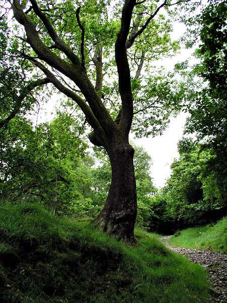
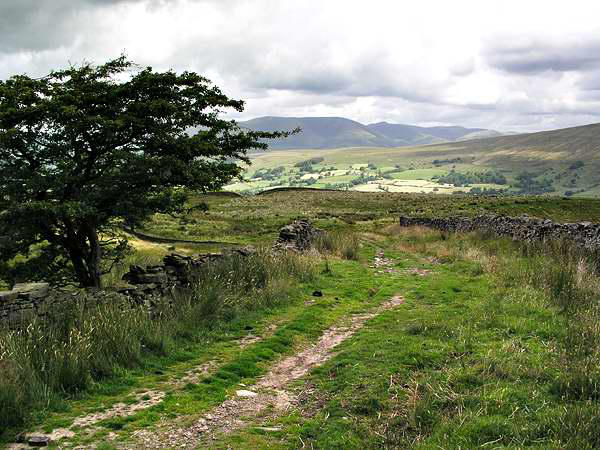
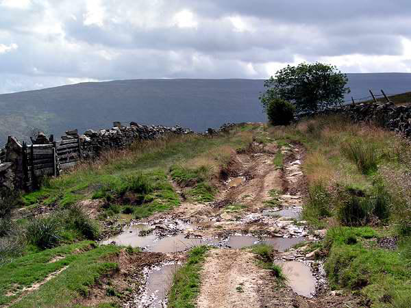
A path leaves Dent in a southerly direction, heading up the
wooded Flinter Gill, until it reaches the "Occupation Road", a
former "green way" which skirts the contours for some distance.
Sadly, its surface has deeply rutted in places by the 4-wheel drive
brigade, and we had to pick our way carefully at times.
The "Occy" ends at the top of the motor road
from Dent to Kingsdale. Crossing the road here,
we began the slog up the grassy western flank of
Whernside, highest of the "Three Peaks" at 2419'.
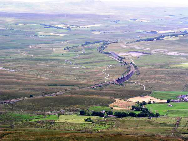
The views from here are extensive, despite the
hazy day. A four-coach blue "caterpillar" ran
slowly across Ribblehead viaduct, nearly 1400'
below us. "They're OK when they're caterpillars"
remarked John, later in the day as a military jet
shattered the peace "it's these butterflies
they turn into that annoy me"
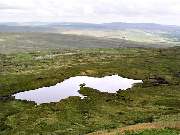
After resting on the busy summit, we began
the gradual descent
via Whernside Tarns,
back to the valley of
the Dee, arriving back in Dent as the
church clock chimed 5pm. An excellent
walk!
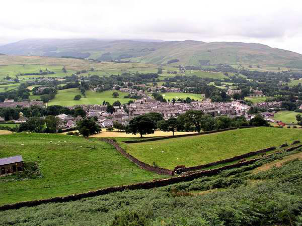
A quick look at Dent...
Day 4: The Howgills
The main route out of Dent - the only route
for large vehicles - is via the small town of
Sedbergh, at the foot of this little known,
compact group of rounded grassy hills,
which reach a maximum height of 2220' at
"The Calf". Today we would climb The Calf -
but sadly, would not enjoy the potentially extensive views of the
Lake District.
We followed the standard, well trodden path via
Arant How - to the clouds at about 1600', and a
strong cold wind that persuaded us to keep
going, pausing only for seconds at the summit
before heading on northwards towards Cautley,
taking lunch once we had dropped out of the
mist and the wind.
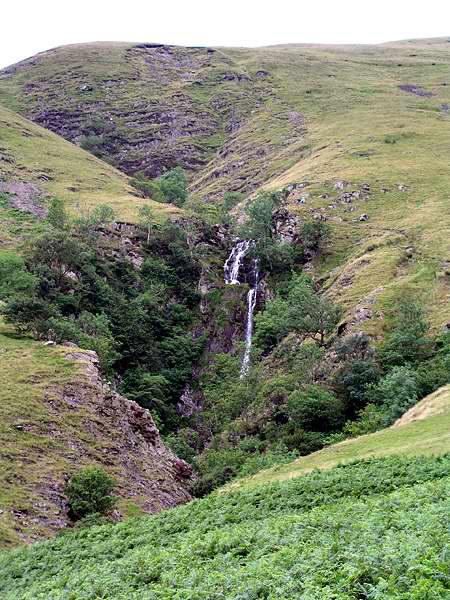
Passing the fine waterfall at Cautley Spout, we
made our way to the river Rawthey, where we
joined the route paralleling the river back to
Sedbergh.
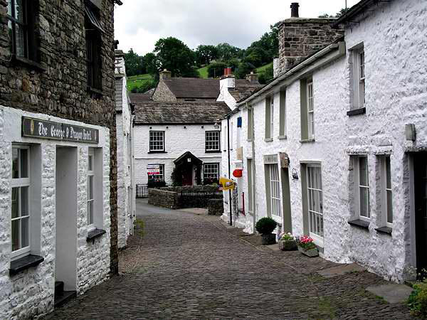
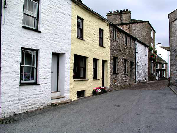
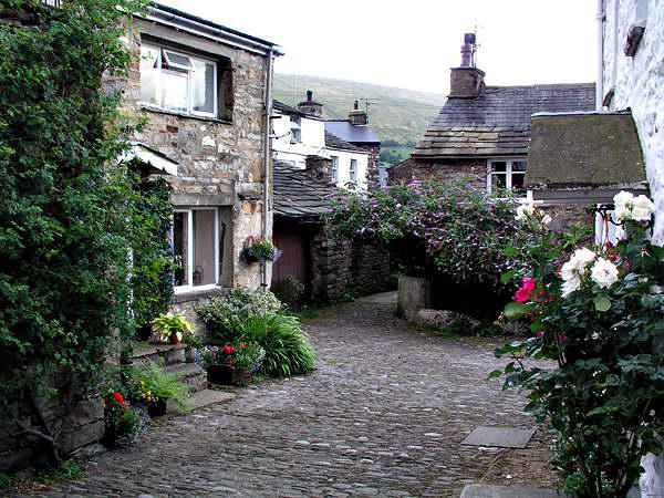
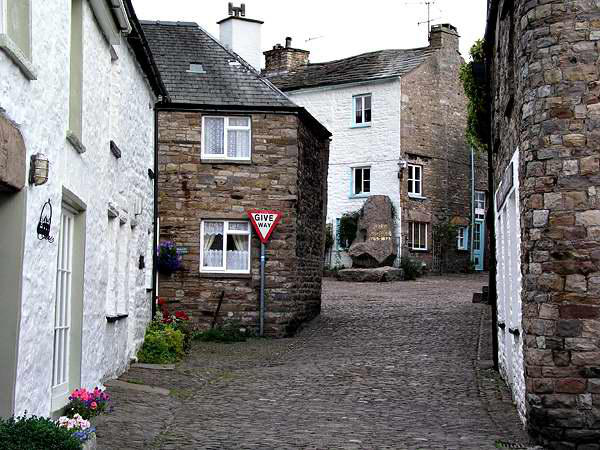
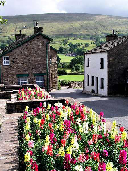
Dent is one of those precious few places which
seem little affected by the 21st century - or
even the 20th, come to that. Cobbled streets,
stone-built and stone-roofed houses, quiet little
corners - a wonderful spot!

We would end the trip in
a nicely symmetrical
manner - once again,
making a brief
underground exploration,
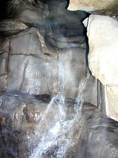
this time revisiting Great
Douk Cave, a short stroll from the Hill Inn at
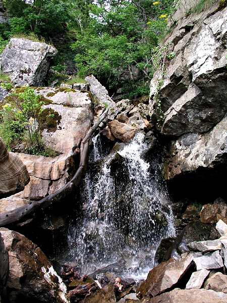
Chapel le Dale. Entered via a small waterfall, a
fine stream passage is easily followed until daylight is regained at
the foot of Little Douk Cave - actually a small pothole. The cave
beyond needs a bit more equipment than torches (decent wellies
for a start!) - the only option for lesser mortals is back the way
we came.
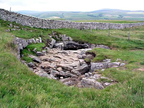
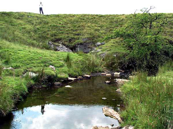
Higher up on the moor are Middle Washfold Caves - where the
cave we had explored actually begins. We took the overground
route to this interesting little patch of limestone, where the
stream is seen to enter the cave, and can be
heard gurgling underneath...
And that was it - just the long
drive home, after a brief call in
Ingleton for refreshments. We
had originally planned to make
this trip a week earlier, but
circumstances conspired to make that
impossible. Just as well - the previous week had
been very hot and sunny -
we would have melted! In the event,
though we had very little sunshine, we also
had very little rain while we were out, and
generally cool, pleasant walking - the
result being an excellent trip.