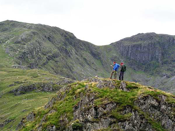
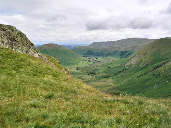
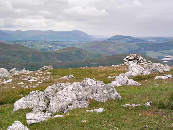
Raise; however, lunchtime got the better of us, and we found a
little shelter from the strengthening and bitterly cold northerly
wind in rocks just to the north of Rampsgill Head...
...and by the time we'd finished, we were
so cold we headed back down from the
ridge. An ominous-looking shower to the
east of Blencathra (and heading our way?)
contributed to the decision. High Raise
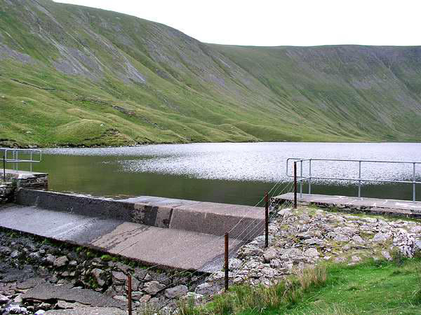
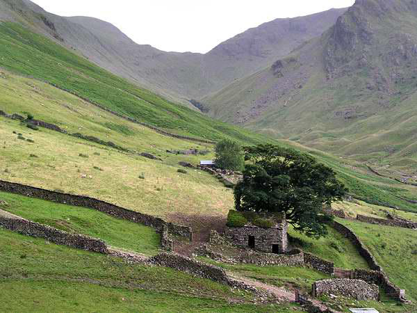
could wait for a better day! So, taking in the summit of Rampsgill
Head en route, we dropped down to the dam at the foot of
Hayeswater, before continuing downwards to Hartsop. Once
again, the path on the eastern side of the valley provided us with
our return route - though, sadly, the shop at Side Farm was closed
- no ice creams today.

A trip to the Ullswater fells - July 2004


Walks with a Camera © Geoff’s Pages 2011
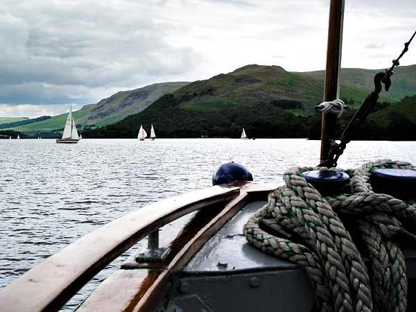
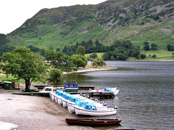
Leaving the car in Glenridding (it wouldn't be used again until our
departure four days later) we walked the short lane to the pier,
and caught the 1.45pm sailing to Howtown.
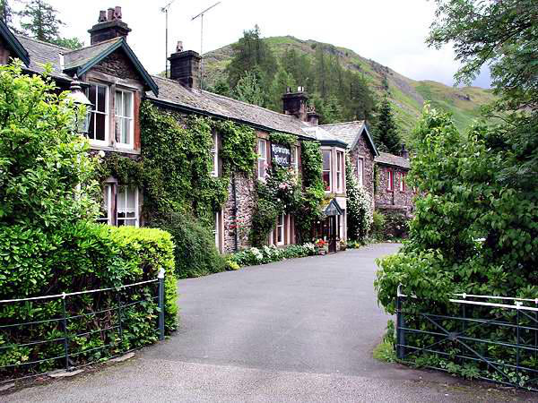
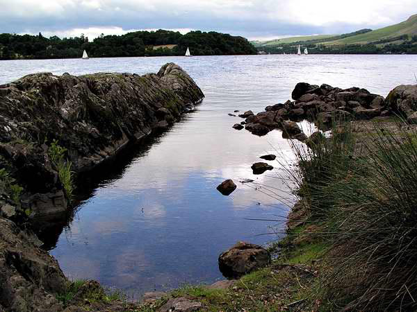
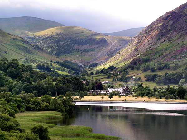
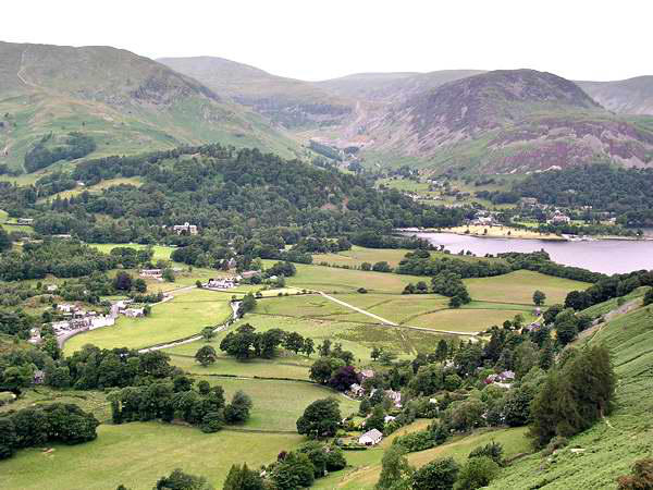
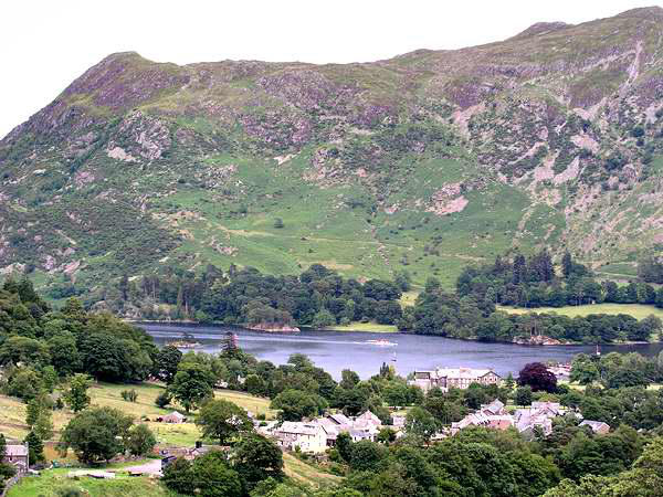
Howtown, about half-way along the lake on the eastern side,
must be one of the quietest corners of the district - the Howtown
Hotel (lunch!) had a lovely old-fashioned feel to
it.
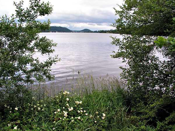
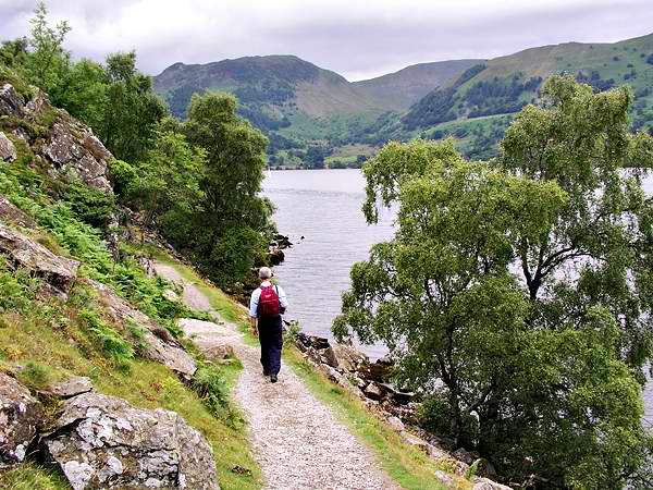
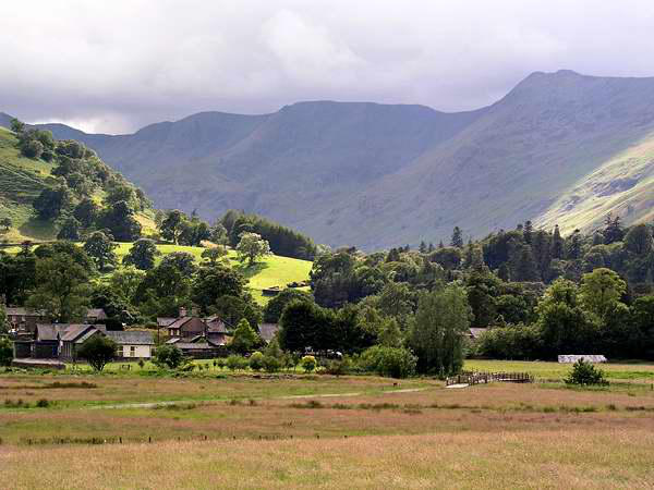
The path back to
Glenridding is generally
reckoned to be one the
finest More sunshine at
the foot of Grisedalelow-
level routes in the whole Lake District - I wouldn't argue with
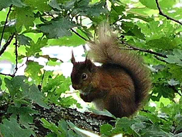
that. The red squirrel, who seemed quite accustomed to walkers,
was an added bonus.
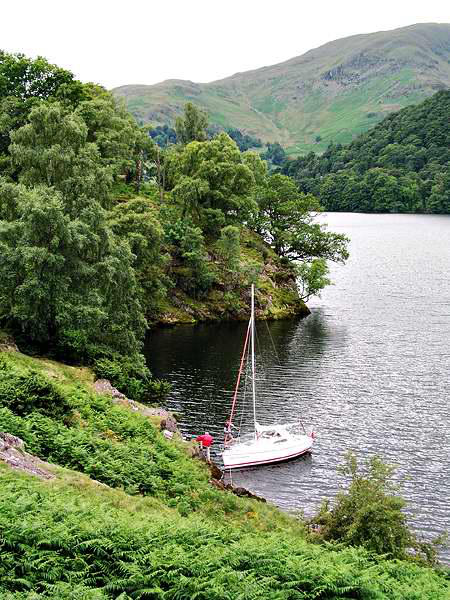
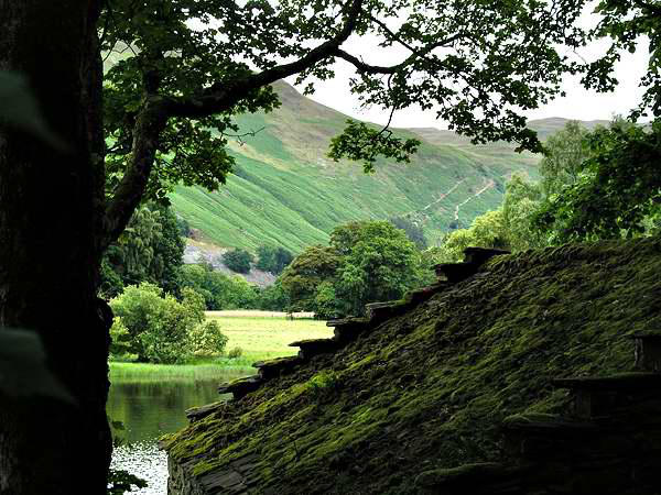
A few minutes of sunshine
near the end of the walk
lit the hills opposite - a
good omen for the rest of
the trip?

Day 1: Howtown and the lakeside path


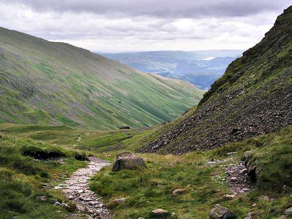
Day 2: Fairfield
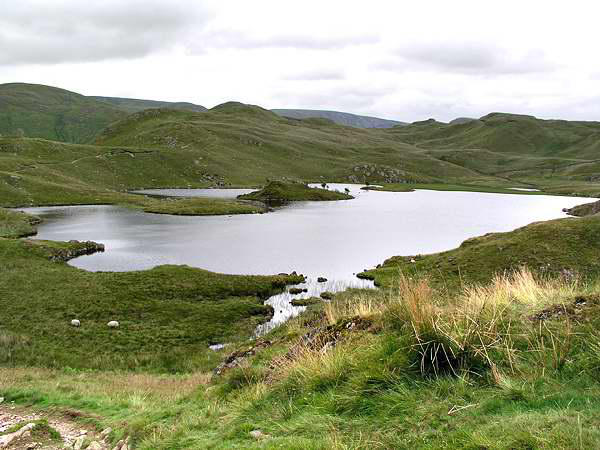
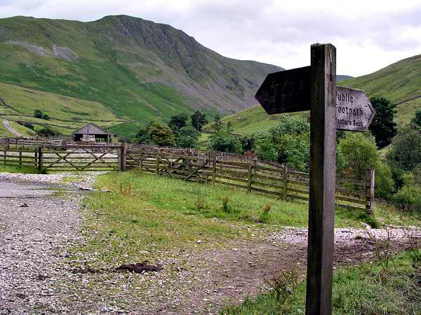
We left Glenridding by the path to Side Farm, then headed for the
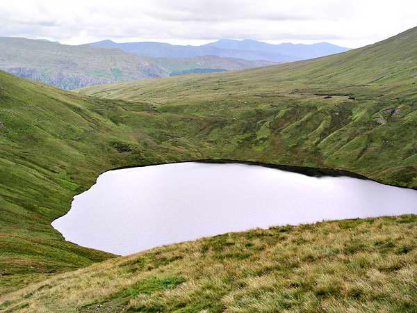
hills via Boredale Hause. The path onwards is an interesting
upland route, passing the unusually-shaped Angle Tarn, then
crossing the heads of Bannerdale and Rampsgill as it gradually
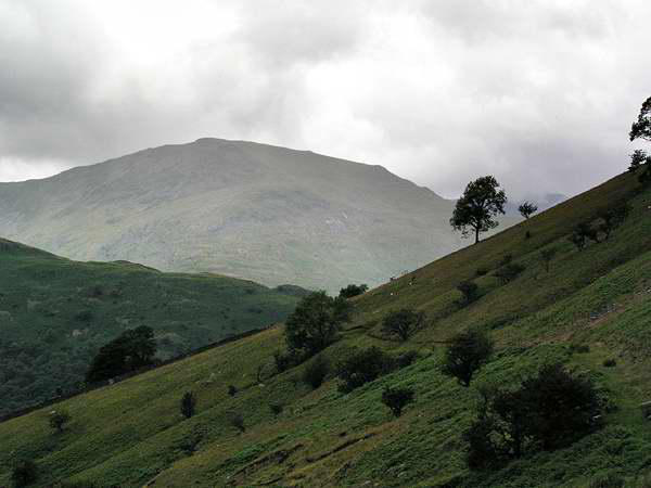
climbs to the High Street ridge.
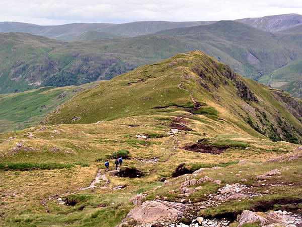
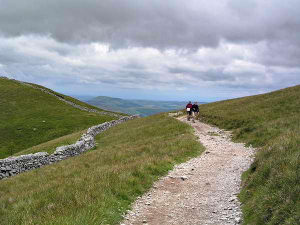
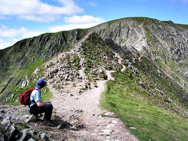
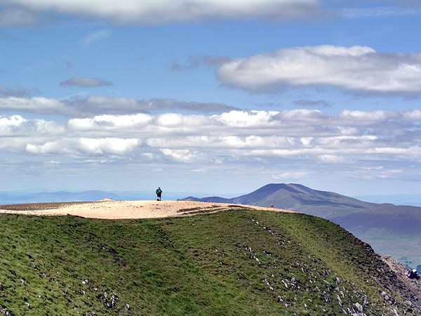
We left Glenridding by the path to Side Farm, then headed for the
hills via Boredale Hause. The path onwards is an interesting
upland route, passing the unusually-shaped Angle Tarn, then
crossing the heads of Bannerdale and Rampsgill as it gradually
climbs to the High Street ridge. Our initial objective was High


Day 3: High Street (well, almost...)

Day 5: Waterfalls Walk
A couple of days before departure, Shropshire had seen heavy rain
and the coldest July day on record. We had travelled through
some very heavy rain the previous day, shortly before arriving at
Glenridding, although the weather had stayed dry for our walk.
The skies remained resolutely grey the next day, and we ensured
our waterproofs were packed. We needn't have worried - a couple
of light showers were all we had (the sort
which stop as soon as you've put the
waterproofs on...)
Sadly, there wasn't any sunshine either -
neither today nor the next day.
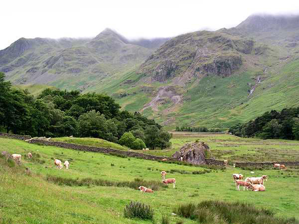
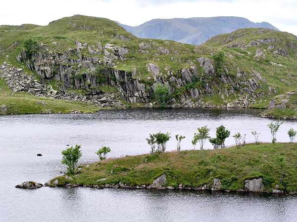
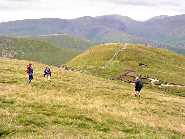
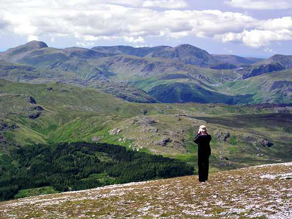
We walked up Grisedale to the tarn, there
taking the steep path (pausing for lunch
half-way up) to the summit of Fairfield,
which at 2863' is one of the higher
summits. We then debated the route back -
St Sunday Crag, or the longer, but lower,
route via Hartsop
Above How. We took the latter - a very
enjoyable ridge walk - before descending
to valley level and taking the path along
the eastern side (away from the road) via
Beckstones and (ice creams!) Side Farm.
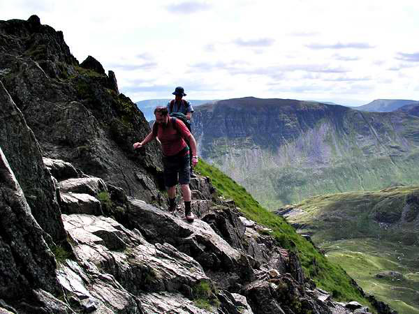
Day 4: Striding Edge and Helvellyn
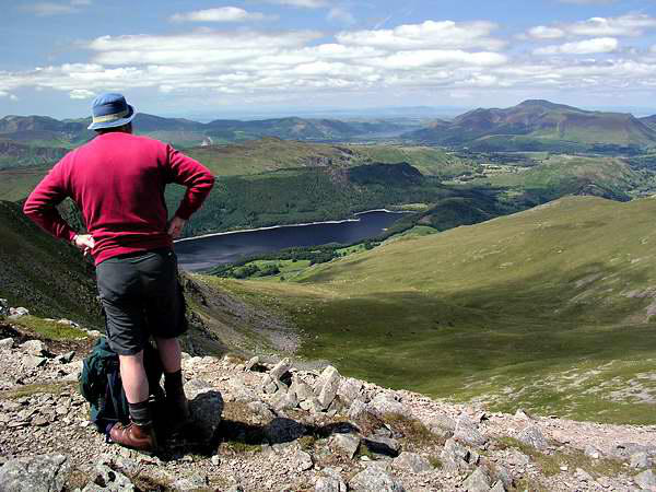
At last, a fine, sunny day! What better objective than the rocky
ridge route to the highest peak in the vicinity, 3118' Helvellyn?
We followed the usual route via Grisedale and the path to the
"Hole-in-the-Wall" (no, not a cash dispenser), then up onto the
rocky arête of Striding Edge. We had climbed this way many years
ago - a fine day at the start had turned wet later, the mist jetting
between the pinnacles of the edge. No such problems today!
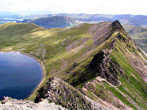
As ever, the summit was well populated - nevertheless, we had no
difficulty getting seats in the shelter (lunchtime!), in the lee of
(again) a cold wind, but this time with warm sunshine, and the
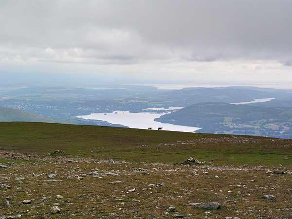
clearest air I've ever experienced on a Lakeland summit. The
whole of the Lake District was clearly visible, as was the coast of
South-West Scotland, and the Pennines to the east. With
binoculars, Blackpool tower was in sight (if you really wanted to
see it...), and beyond, the Ribble estuary and the flat lands
around Southport. More significantly, a darker smudge over the
sea might have been the Clwydian range of hills south of
Prestatyn. And, between the Scafells and Gable, a distant flat
shore - surely not the coast of Ireland? (I'm pretty sure it wasn't
the Isle of Man - too flat!) Can anyone out there confirm or deny
our view please?
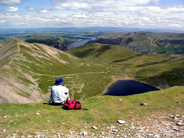
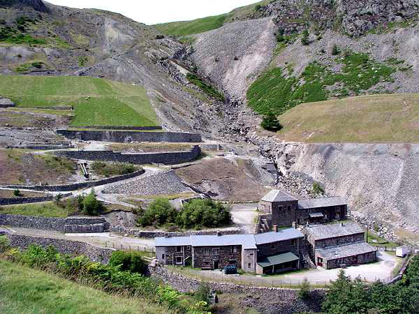
It was a shame to leave the exceptional
views; sadly, we couldn't stay indefinitely,
and began our descent, via Helvellyn Lower
Man, White Side, and the long zig-zags
which took us down, past the old lead
mine, back to Glenridding.
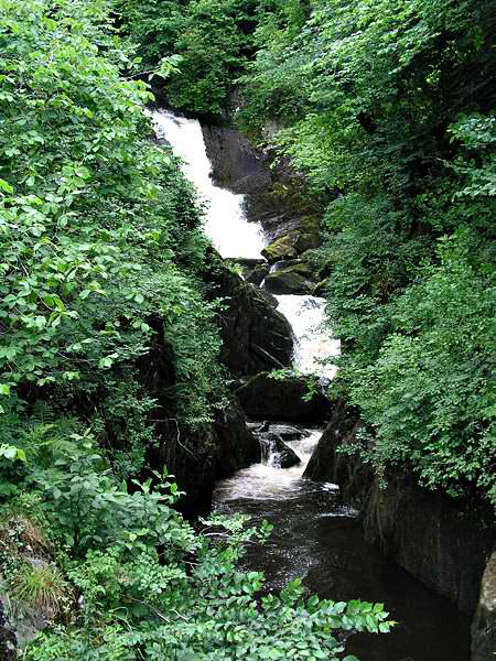
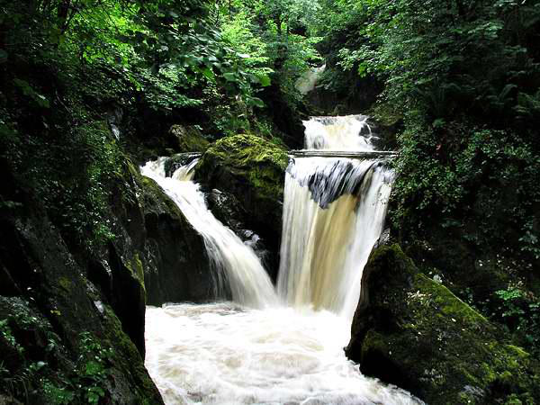
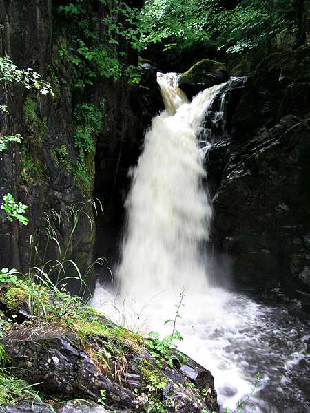
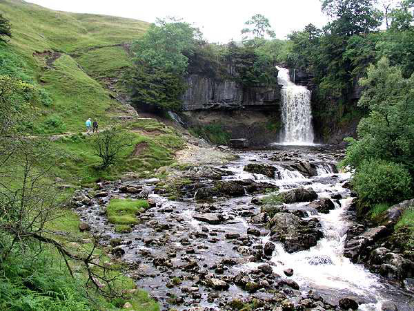
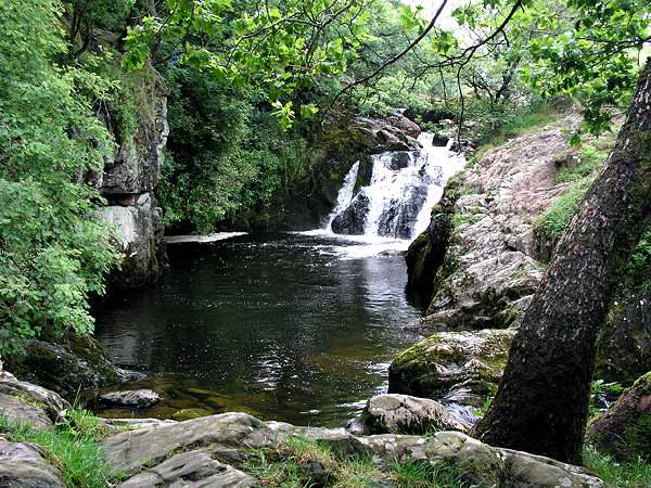
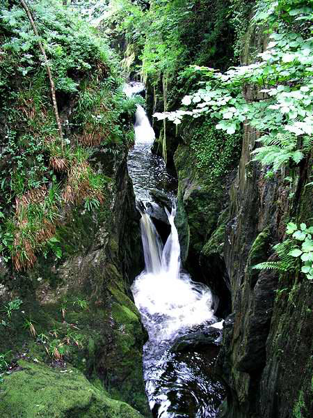
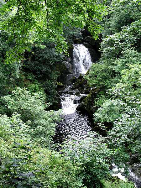
Here's a walk that needs little explanation - and
the only walk in these pages for which an
admission fee is charged! The previous day's fine
sunshine had become hazy late in the afternoon,
and rain was falling as we walked back from our
evening meal to the B&B. Our last day, which
would end with the drive home, dawned damp
and drizzly. We decided to drive out of the Lake
District, to Ingleton, on the edge of the Yorkshire Dales, to do the
waterfalls walk. If it rained on us, we would at least be at a
relatively low level, and the trees would provide some sort of
shelter.
In fact the rain held off, and we
had a very pleasant couple of
hours exploring the valleys of
the Twiss and the Doe. Much as
I would normally object to
paying for a walk in the
country, I can appreciate that
the heavy use means heavy
maintenance and repair, and the path constructed to follow the
Doe downstream makes accessible a gorge that would otherwise
be impassable.
In the best traditions of these things, the falls
all bear names. Please excuse me if I've got any
wrong!
And that was it - back to Ingleton in time for
lunch, before heading south for the delights of
the M6 - and home.