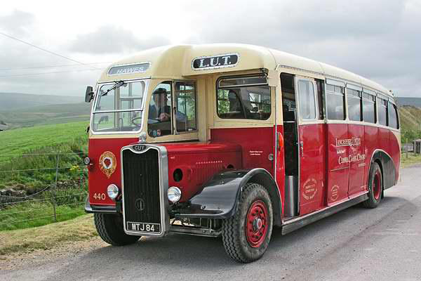
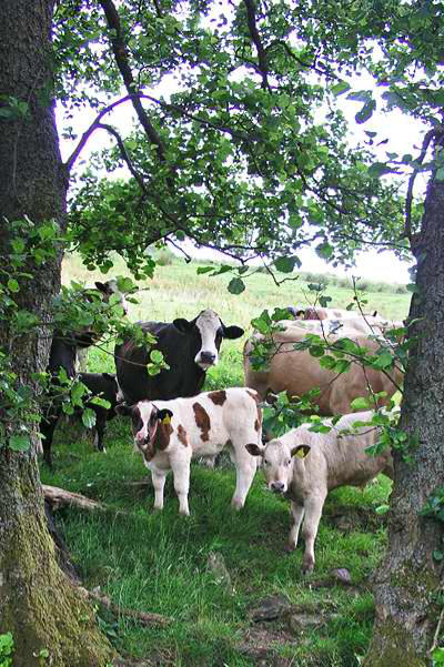
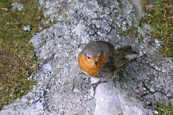
Five days in the dales - July 2005


Walks with a Camera © Geoff’s Pages 2011
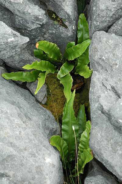
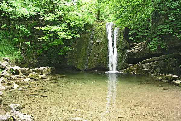
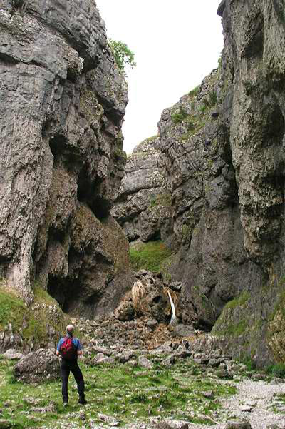
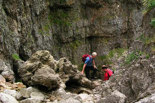
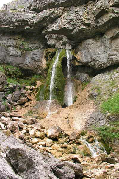
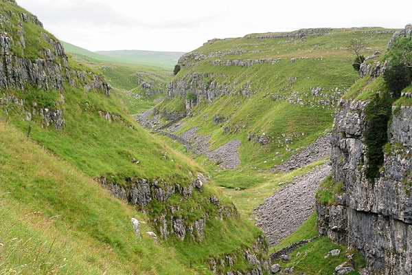
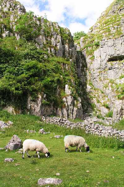
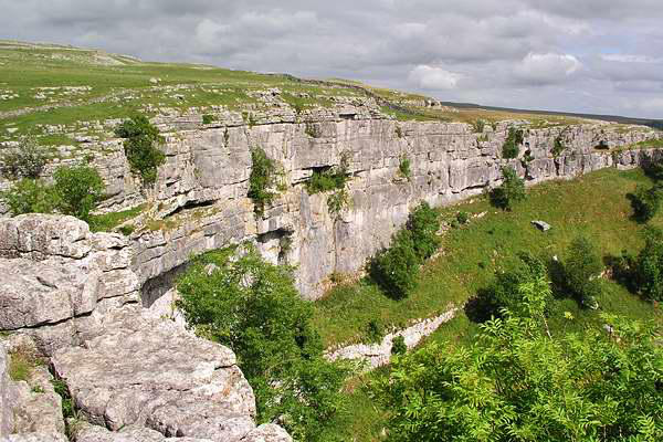
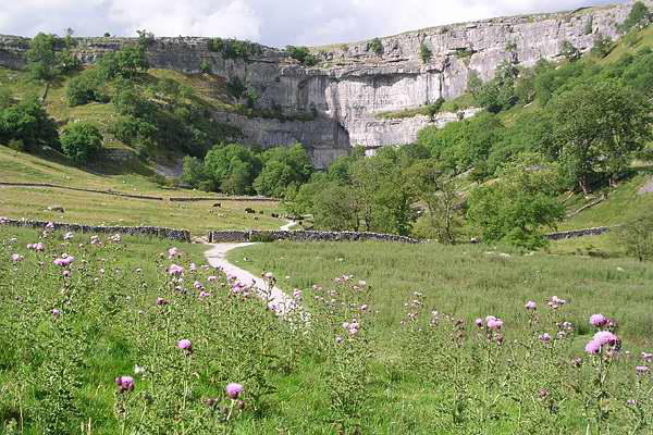
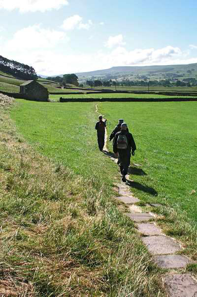
Not Wensleydale, I know... Tradition has it that we "do something"
on the way to our ultimate destination. The delights of Malham
are well-enough known - or so I thought. Two of my companions
had never been - the third had been once over thirty years ago.
At weekends, it's a place to avoid, but on a Monday before the
school holidays, the honeypot was barely buzzing...
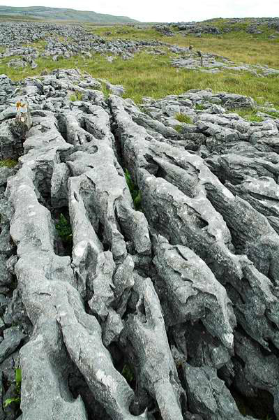
Our walk followed
the classic route -
alongside the stream to Janet's Foss, then up the waterfall at
Gordale Scar and across the limestone to Malham Tarn. Here we
turned back - past Water Sinks, down beside the dry waterfall and
along the dry valley to the top of the Cove, before descending to
the well-made path back to Malham village and the car. An
excellent introduction to the limestone country!

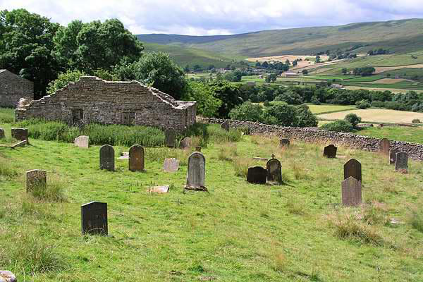
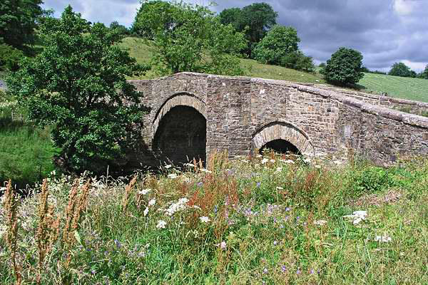
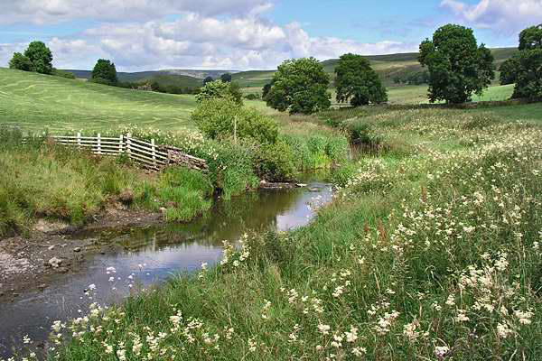
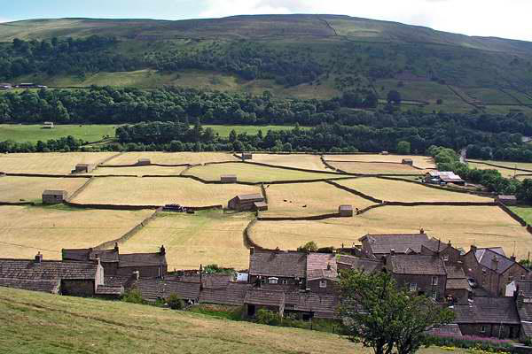
Day 1: Malham


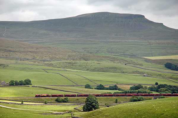
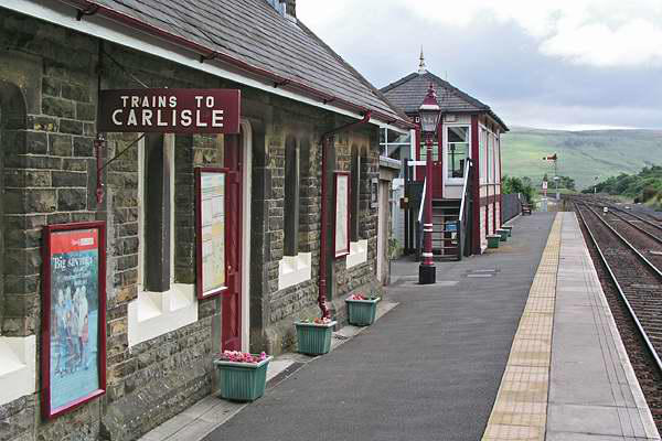
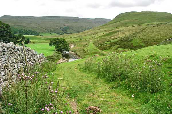
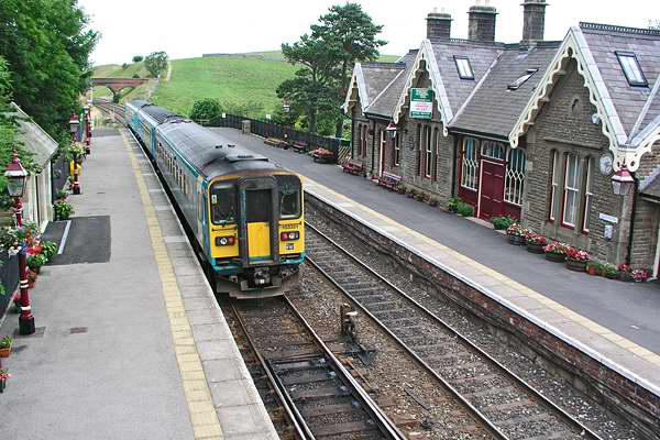
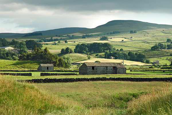
Day 2: Kirkby Stephen to Garsdale

Day 4: Gunnerside Gill
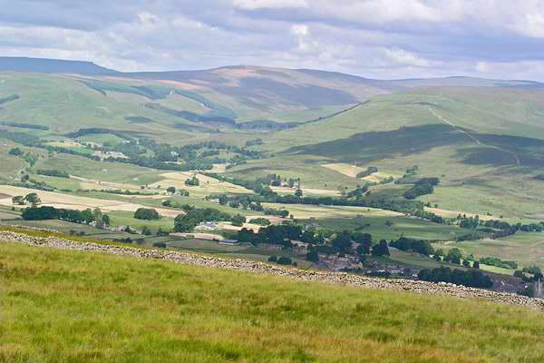
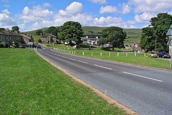
We were in staying in Wensleydale - at Hardraw, near Hawes -
but for our first full day walk, we ventured out of the dale - just
- to Garsdale station, where we left the car, and caught the
10.21 to Kirkby Stephen, the next station down the line. We
would walk back via the valley of the river Eden and the ancient
"Lady Anne's Highway", a fine high level route on the east side of
the valley, which crosses the watershed between the Eden and
Wensleydale's Ure. The area between Ais Gill and Garsdale is
interesting in that the Eden flows into the Solway Firth, the Ure
enters the sea via the Humber, and water falling on Garsdale
flows south-west via the Lune ("that's really interesting, Geoff").
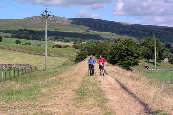
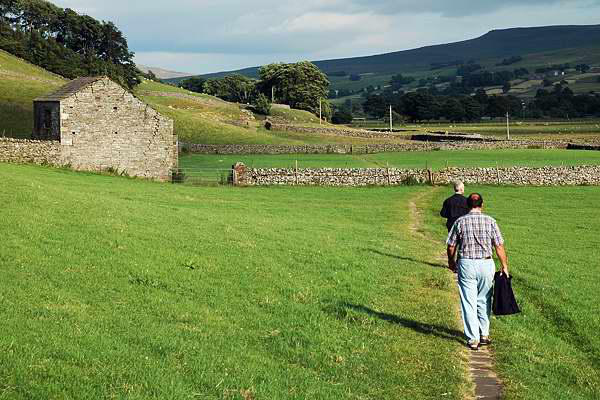
The route we followed breaks into two quite
distinct sections. The first is gently rural, the path
crossing cropped fields at first, though it becomes
somewhat wilder as the land rises. We passed
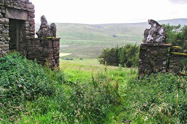
Wharton Hall, a part-derelict, part-used fortified
Manor House, then a little further on the remains
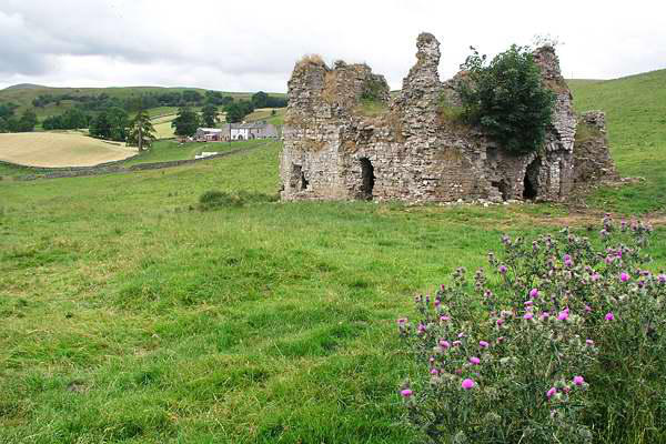
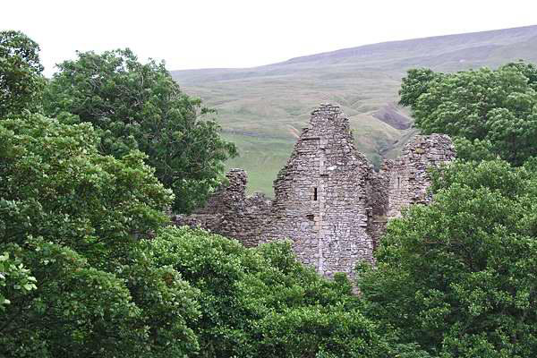
of Lammerside Castle, somewhat older and in an
advanced state of dereliction. At this point we left
cultivated ground and headed up the valley, passing yet another
castle - Pendragon, one of Lady Anne's ports of call (and,
according to legend, the place where Uther Pendragon, father of
King Arthur, died).
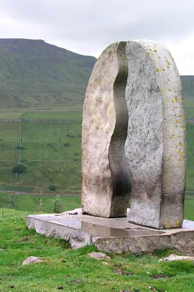
A little way beyond Pendragon (and fortunately
after our lunch stop) we had the only serious rain
of the five day trip - a heavy shower which
prompted a pause under the trees. Shortly after
this point, our route crossed the main road and
climbed away from the river - truly now the "High
Way". An interesting sculpture "Water Cut" by Mary
Bourne marks the end of the long climb from the valley bottom.
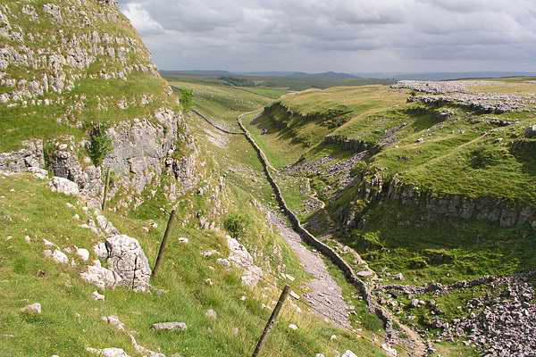
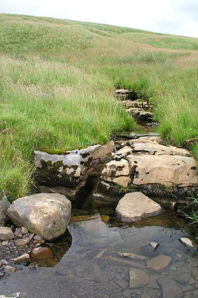
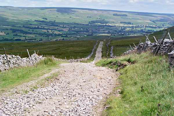
The way now follows a grassy promenade above the railway at Ais
Gill summit, crossing the county boundary (Westmorland - North
Riding*) on the bridge above the fearful ravine of
Hell Gill, before meeting the headwaters of the
Ure. The dereliction at High Hall and High Dyke
(formerly an inn) serves as a reminder of the
earlier importance of the
highway.
With Garsdale now in sight,
we left Lady Anne's Highway and walked the
short distance (downhill all the way) to the
road junction at the Moorcock Inn, then
along the road (crossing from the North
Riding to the West Riding* in the process)
back to the car at Garsdale station.
*The old county boundaries seem more
appropriate somehow...
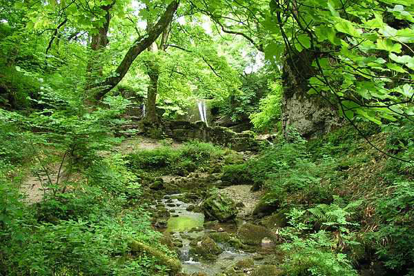


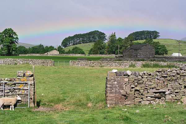
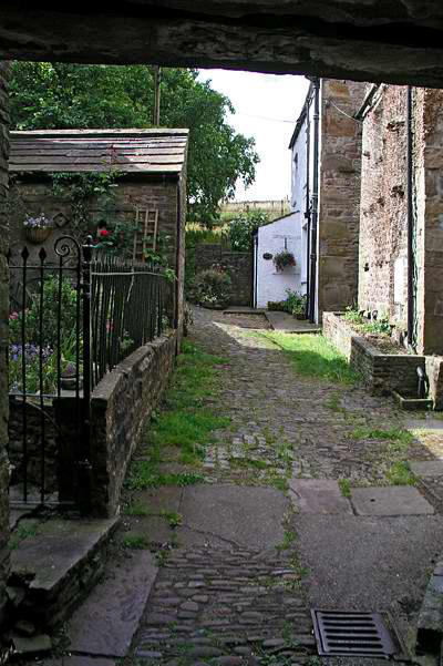
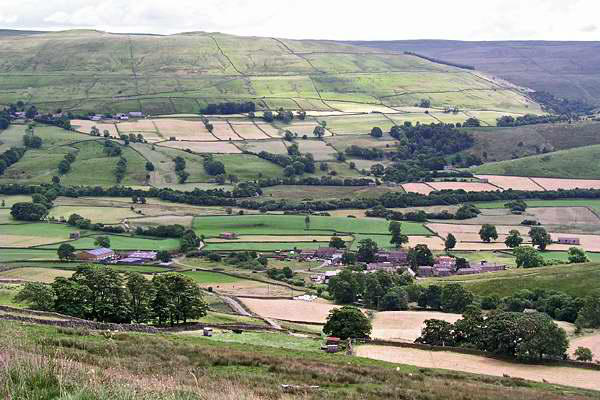
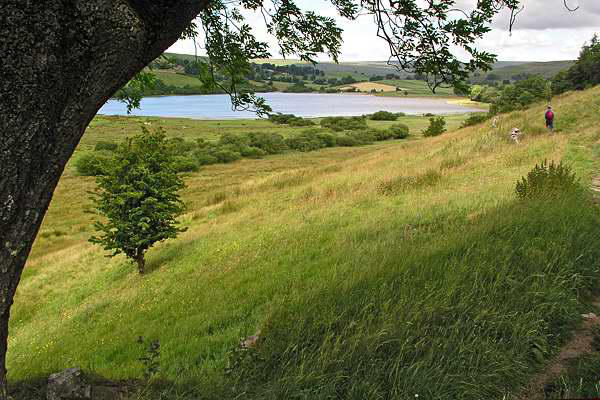
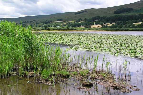
Day 3: Semerwater and Bainbridge
A car-free day today - we took the flagged field
paths across the dale to Hawes to stock up on
provisions, before following the flagged way to
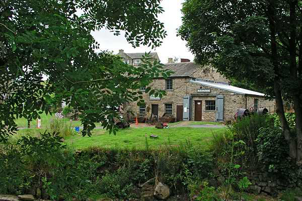
Gayle, always a photogenic spot, where the mill is
undergoing renovation, as featured on the BBC TV
programme "Restoration".
The path climbs steadily from
Gayle to the ridge between the prominent peaks
of Yorburgh and Drumaldrace, crossing the dead-
straight Roman road from Bainbridge, then
descending through grassland to the isolated
hamlet of Marsett, in Raydale - the valley of
Semerwater (yes, another of Yorkshire's few natural lakes).
Our path crossed the dale, then skirted the contours towards the
southern side of the lake (a recently-cut hay meadow providing
an excellent spot for lunch and, in the warm sunshine, a brief
shut-eye).
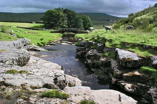
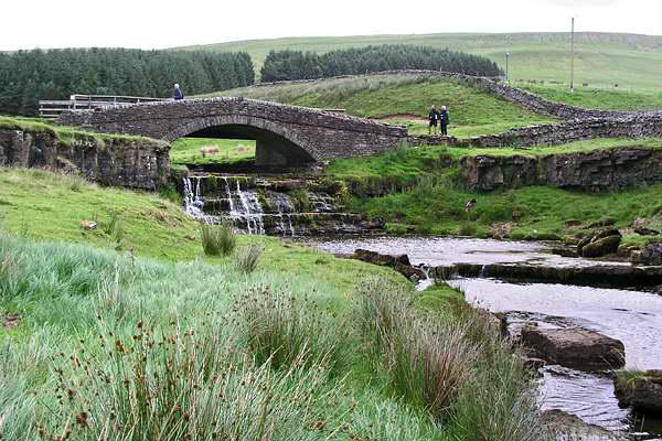
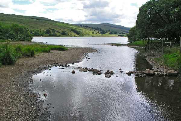
Water flows from Semerwater into the
River Bain, supposedly England's shortest
river - just over two miles before it joins
the Ure. We would follow it as far as
Bainbridge, where my colleagues' esteem
for my walk-organising skills took a severe
blow - the ice-cream shop was closed!
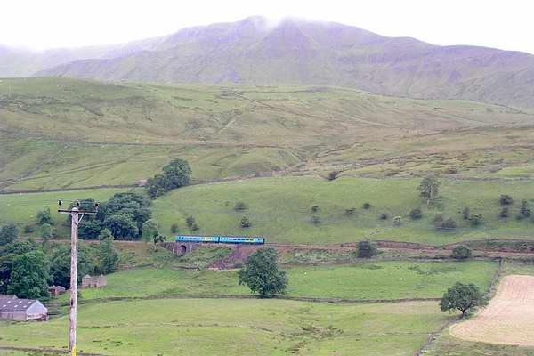
There was once a railway through
Wensleydale - from Garsdale (originally
Hawes Junction) to Northallerton. The
eastern part, from Redmire to
Northallerton, is intact and once again sees
passenger trains, operated by the
Wensleydale Railway Company. Between Redmire and Garsdale
the track has long been lifted, and although the long-term aims of
the WRC envisage track being relaid throughout, parts provide an
admirable walking route. We followed the railway trackbed for a
mile and a half, before joining field paths and (very minor) roads
back to our starting point.
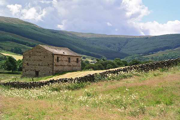
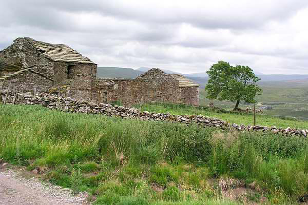
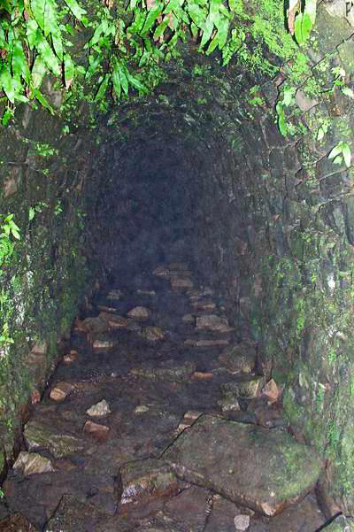
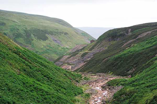
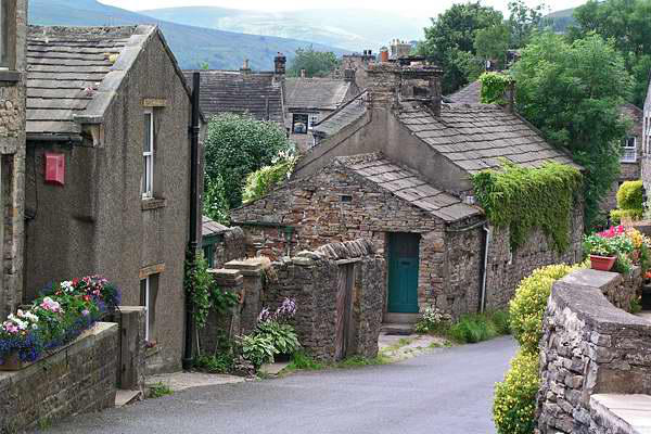
No, not a young lady I once knew! This side valley, from the
attractive stone-built village of Gunnerside, cuts deep into the
northern flank of Swaledale, and was once famed for its lead
mines. The industry collapsed more than 100 years ago - but
much remains of interest to walkers in these parts.
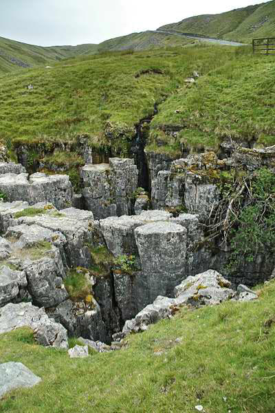
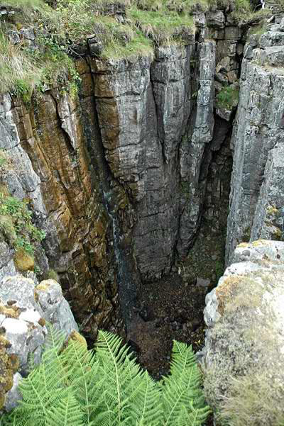
We drove to Swaledale over the Buttertubs pass - and paused for
a few minutes to examine these deep limestone potholes,
emphatically not what one tourist website describes as "holes in
the ground made to keep butter cool"...
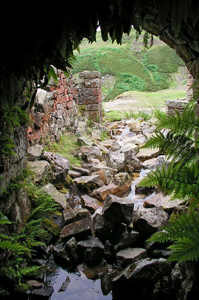
The path follows the east bank of the beck, and climbs gradually
until the first remains are found, a couple of miles upstream. As
well as the various adits (and shafts, higher on the moor) and
buildings, there are deep scars in the hillside - the remains of
the "hushes" where small streams were dammed and then
released, to scour away the vegetation and loose
material in order to reveal the veins of lead.
Semerwater (yes, another of Yorkshire's few
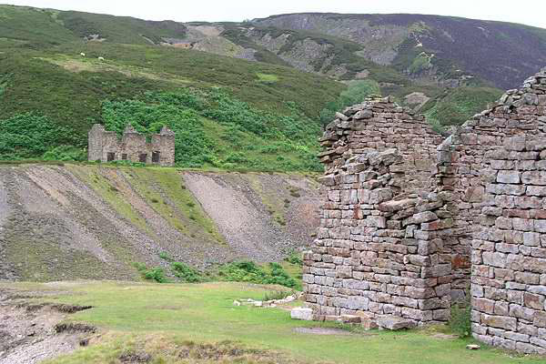
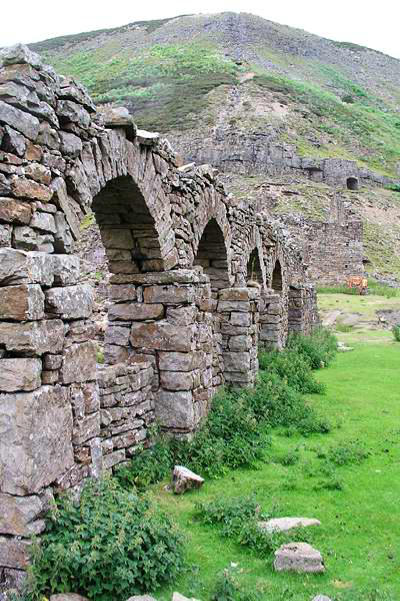
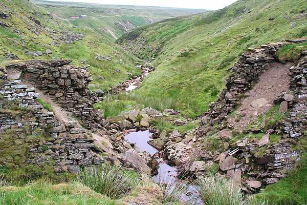
We paused for lunch at a familiar spot - beside
the arches of the old Blakethwaite mill, before
heading further on to the dams near the top of
the gill. The lower dam has long since collapsed,
though the upper dam, just a few yards higher, remains. The pool
above has silted up, and forms a flat reedy area.
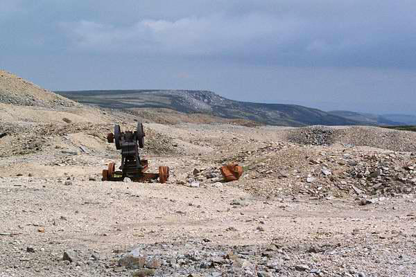
Instead of returning direct, we now took the track from the
shooting box as far as Melbecks Moor, where desolate acres of
former mine spoil remain. A path is clearly
marked on the map here, heading more-or-
less straight back to the village. It may be
clear on the map - but on the ground, what
seemed to be the
path petered out
into pathless heather moor. Perhaps the
best way to describe our walk back to
Gunnerside is to say that we exercised our
"right to roam"...
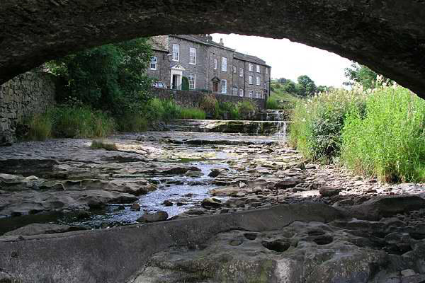
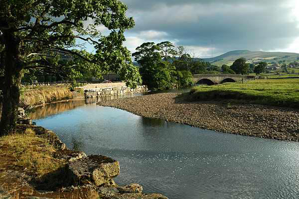
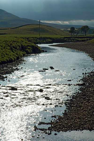
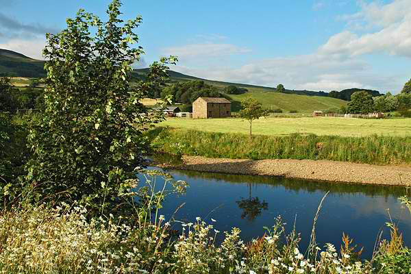
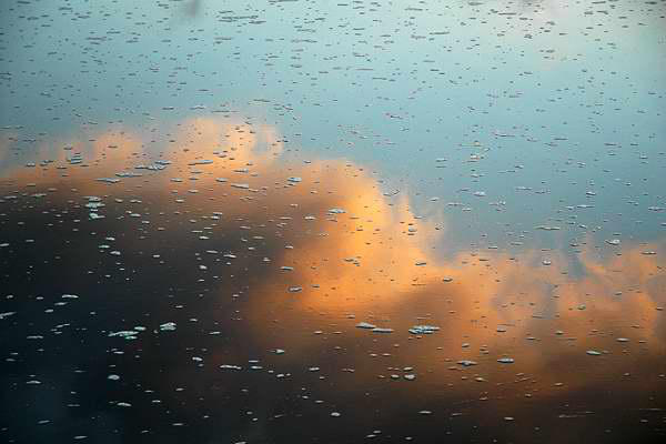
Evening stroll:
As mentioned earlier, we made our way each evening across the fields to Hawes (adding, in the process, another 3
miles to our day's total). Inevitably, the light was best on the first evening when the camera was left behind... Here
are some snaps taken on our last evening
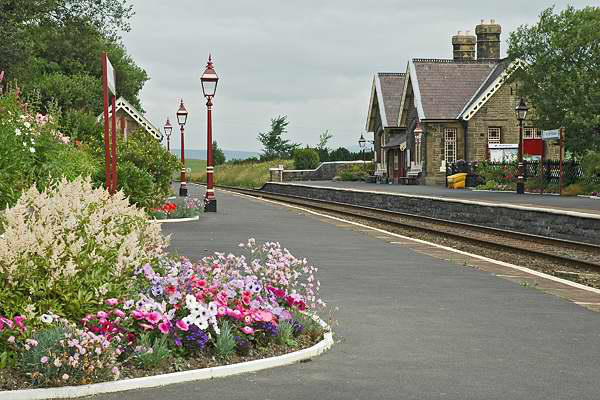
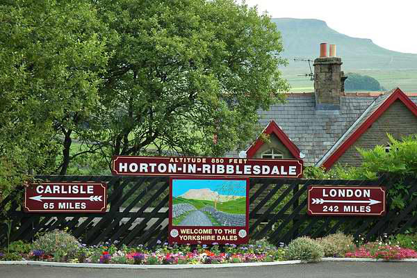
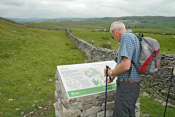
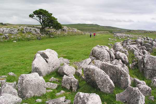
Day 5: Sulber
A short one before
lunch, on our way
home. We parked
near Horton-in-
Ribblesdale station
and took the path
towards Ingleborough - through Sulber Nick. The
intention - just enough of a stroll to work up an
appetite, with some limestone scenery.
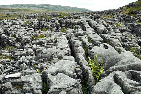
In the event, we didn't find as much
surface limestone as the map
seemed to suggest - there was
plenty in sight further to the south,
around Moughton, but it was a little further than
we wanted to walk - it was still a long way home.
So, after the obligatory few pictures, lunch at the
Crown - a good end to an excellent few days.