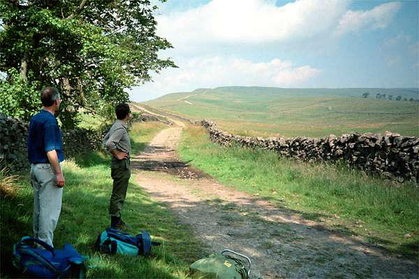
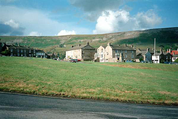
We left the delightful hamlet of Thwaite
and set off once more towards Muker,
where, once we had taken on provisions,
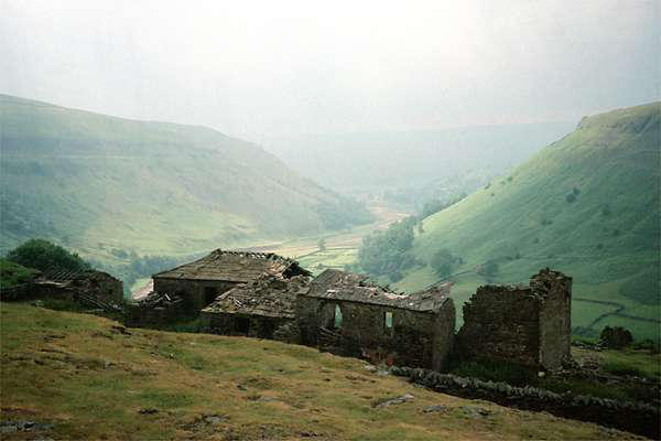
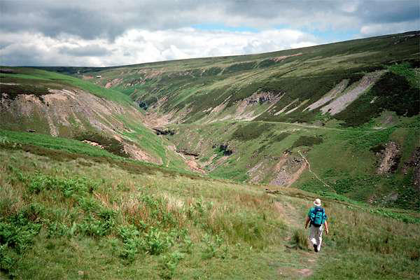
we headed upstream towards Crackpot
Hall. There we would take to the hills,
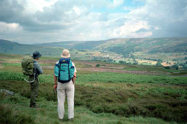
heading for Reeth across high moorland,
traversing en route the extensively mined Gunnerside Gill.
Yesterday we had followed one well-known long-distance path,
now we would be following "Wainwright's Walk" - the Coast-to-
Coast path.
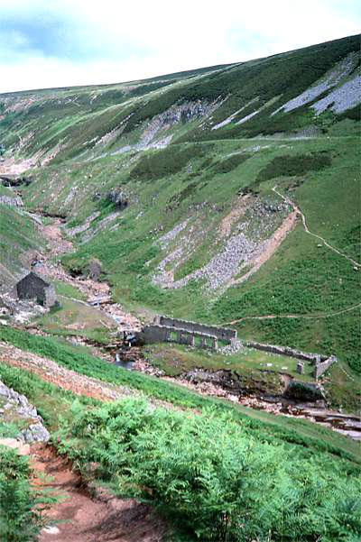
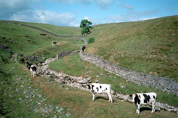
There was once a substantial industry in
this most rural of dales, and a significant
part of our walk today would take us past
old workings. Apart from some surface
buildings, there is much rough ground
where spoil has been tipped, and also the "hushes"
where ore was exposed by damming streams, then
releasing the water to scour the ground, in order
to expose the veins of lead-bearing ore.
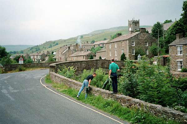
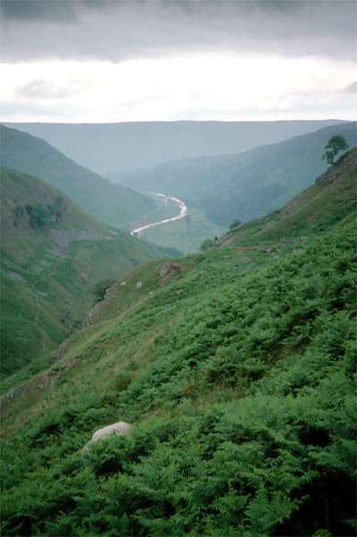
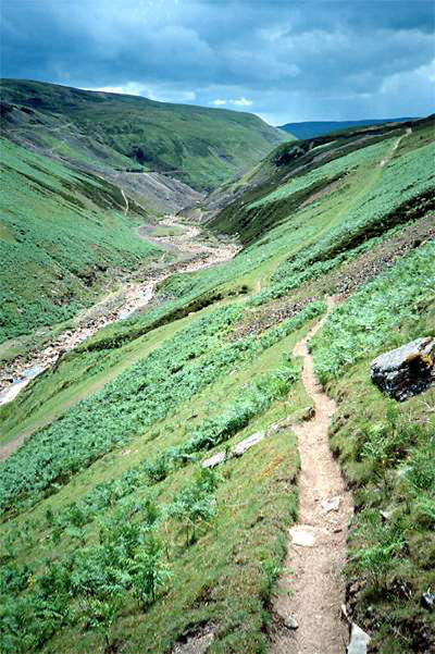
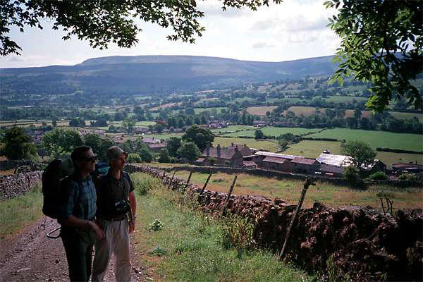
Leaving Gunnerside Gill, we crossed extensive
areas of levelled spoil, before dropping into the
somewhat greener Hard Level Gill, which led us
past the substantial remains of the Old Gang Mines. The weather
had deteriorated here somewhat (hence no
photos), and we took shelter for a while in the old
buildings before heading on, via the southern
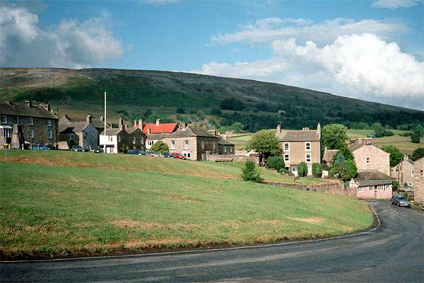
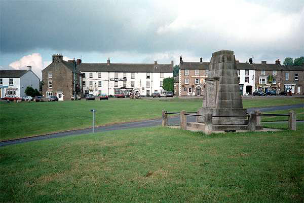
slopes of Calver Hill and down into the attractive
village of Reeth
There was a choice of places to eat
- we had just about made up our
minds as we sat drinking a well-
earned pint, when a familiar figure entered, and
the volcano began its eruptions once more... We
decided to revise our plans, reflecting that, if we
were doing the Coast-to-Coast, we might well
have been dodging the acrid fumes for the best
part of a fortnight!

A square walk starting at Hawes - north to Thwaite, east to Reeth, south to Aysgarth and west to Hawes - July ‘95


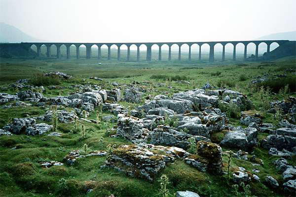
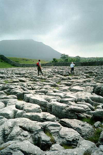
Leaving the M6 near Lancaster, the road takes us through the
heart of limestone country - we stopped for lunch, then took a
stroll and a few snaps at Ribblehead

Day 1: To Hawes


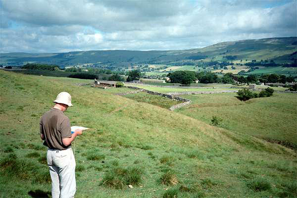
Day 4: Reeth to Thoralby
The northbound and eastbound sides of our "square" had been on
well-trodden routes. Now, southbound, we followed a route of
our own devising.
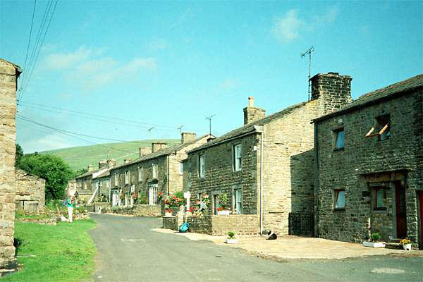
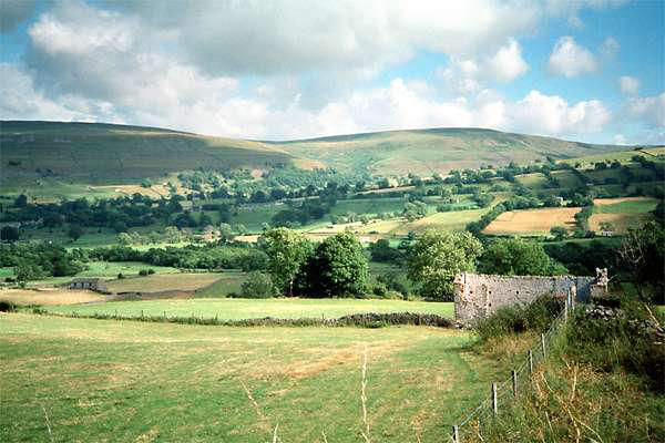
We left Reeth and headed for Grinton, where we crossed the
Swale and took to the hills, crossing grouse moors and the
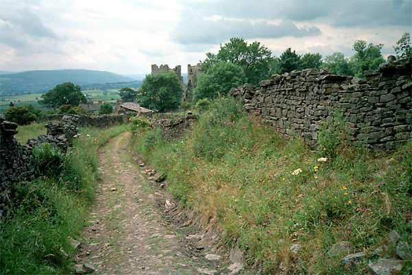
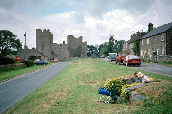
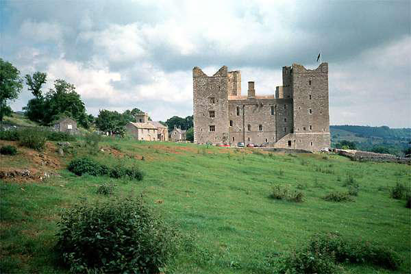
secluded Apedale, before dropping down to Castle Bolton, where
the attractive linear village is dominated by the huge bulk of
(oddly enough) Bolton Castle.
Now crossing pleasant pasture land, we took the direct path to
Carperby, where a drink or an ice cream would have gone down
well - but there was nothing available, and we wandered on,
turning south towards Aysgarth Falls. Shortly before arriving, the
heavens opened - so we little alternative but to enter the tea-
room and take advantage of its convenient shelter...
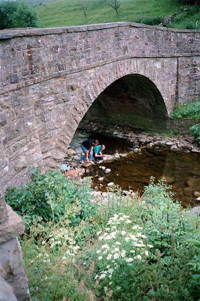
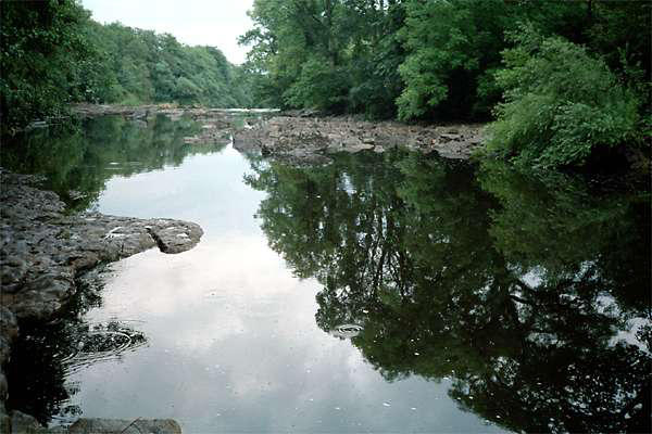
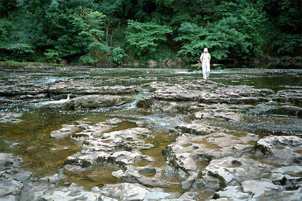
Leaving the falls, where the Ure cascades over limestone shelves,
we followed a delightful path to Tomgill Bridge, before arriving in
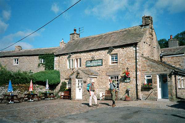
the small village of Thoralby, where we would be spending the
night at the George Inn. Once again, we dined well - minus
volcano - though, had we known about the breakfasts, we would
have eaten less....


Day 2: Hawes to Thwaite
Today we would follow the Pennine Way. A flagged path took us
through the fields towards Hardraw where, if the weather had
not been so dry, we would have stopped to take a look at the
famous "force". But it would have been just a trickle, so we had
an ice cream instead...
Leaving Hardraw, we began the long, gradual climb up to Great
Shunner Fell - an excellent spot for lunch. The heavy Pennine
Way traffic along this high peat upland has caused extensive
damage to the path - so that repairs have been made to lengthy
stretches, using what looked like second-hand
stone slabs - which made quite a neat, natural-
looking way.
After our leisurely lunch, we began the long
descent to Swaledale, where our day's walking
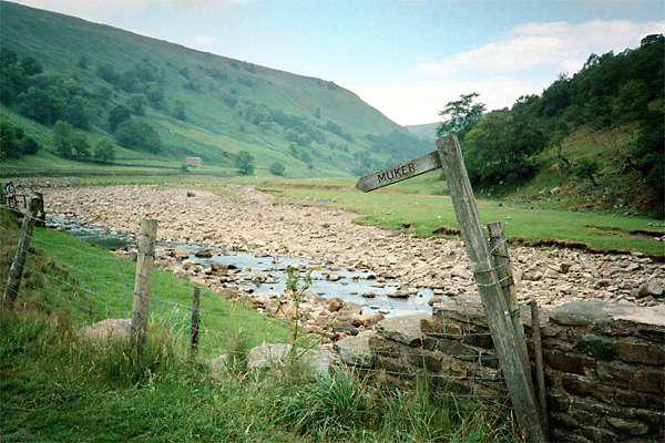
ended - almost. There being no pub in Thwaite,
we had to walk the mile or so to Muker, where
excellent food and drink was available at the Farmer's Arms
("best chips in the dale" we heard later). The excellent food was
almost ruined by the eruption of a volcano nearby, which turned
out to be merely some antisocial individual
with a huge pipe. A quick move around the
corner found us a smoke-free area. The
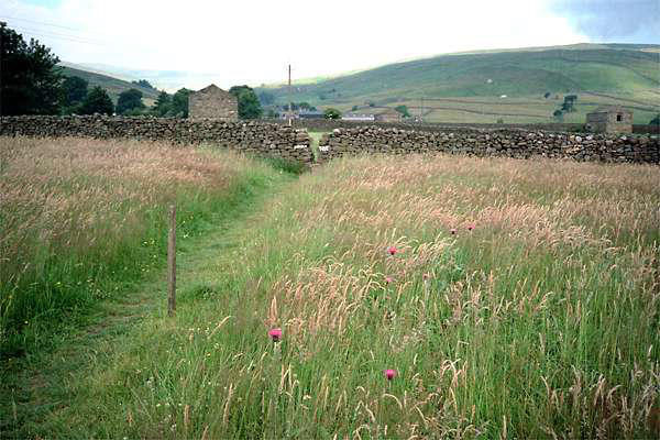
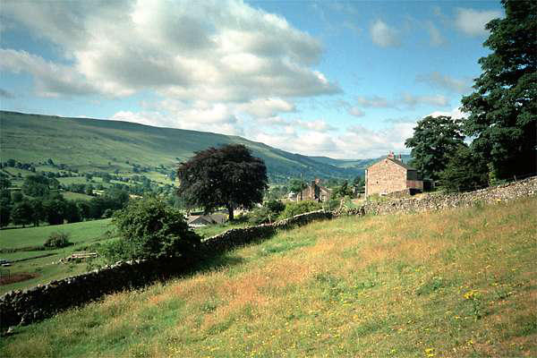
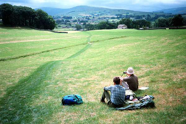
walk from Thwaite to Muker is hardly an
imposition, a fair part of the route being
through fine natural hay meadows.


Day 3: Thwaite - Reeth


Day 5: Thoralby - Hawes - and home again.
The breakfast was truly excellent, though I
have to admit I had to give up when we got
to the toast and marmalade stage. I got the
distinct impression that they are a kind of
challenge! Certainly, the George is highly
recommended to those who enjoy their
food! I didn't feel the need to eat anything else before I arrived
home, some eight hours and 150 miles later.
We struggled up to a low grassy upland and made our way to
Thornton Rust, on a low shelf above Wensleydale. Here we
headed for Worton bridge and made our way to Askrigg, where
we put our feet up for a little while before continuing along a
pleasant shelf to Sedbusk. Here we began the descent back down
to the Ure, completing the "square" that we had begun a few
days previously - and what an enjoyable walk it had been. Now
for the M6 and home.

Walks with a Camera © Geoff’s Pages 2011