A circular walk in quiet mid-Wales hill country - July 2007


Walks with a Camera © Geoff’s Pages 2011
No, it's not a description! As I drove to collect my companion for
the walk, the BBC's "Today" programme was reviewing a play based
on the last 10 years of politics - the expression "government rocks"
had been used to describe Mr Blair's approach...
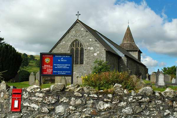
I had noted Llandegley Rocks a couple of months previously, on a
trip out to Rhayader to see the red kites. We had driven through
Knighton and over the hills, and as we joined the A44 at Pen-y-
bont, I glanced to the left, and wondered what that rugged and
interesting-looking ridge might be. Hence today's trip - and yes, as
we donned boots beside Llandegley's little church (of St. Tecla), a
red kite wheeled overhead. We would see several more (or
perhaps we would see the same one several times...) on this fine
walk.
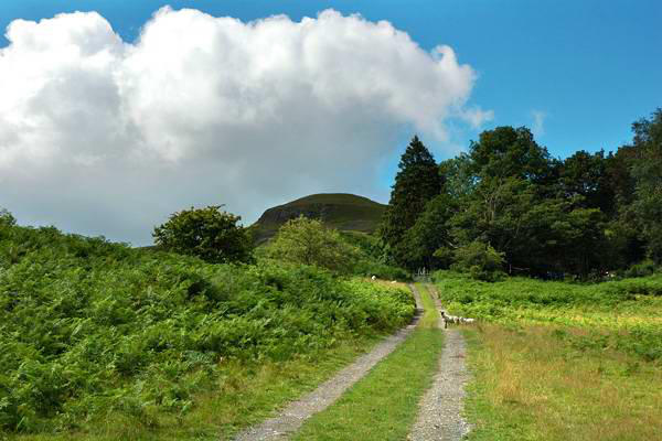
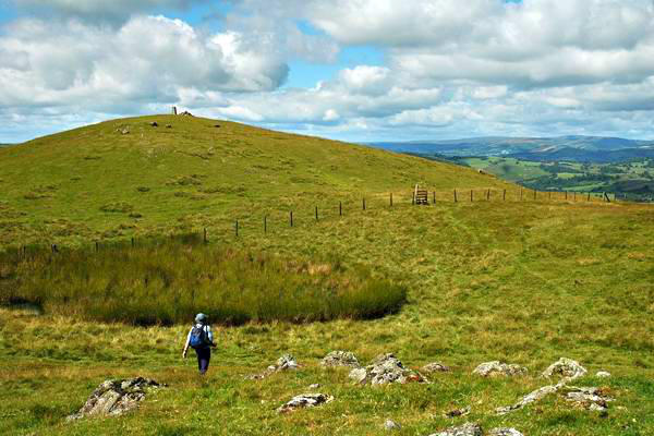
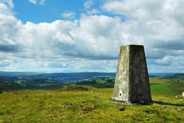
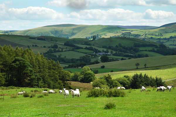
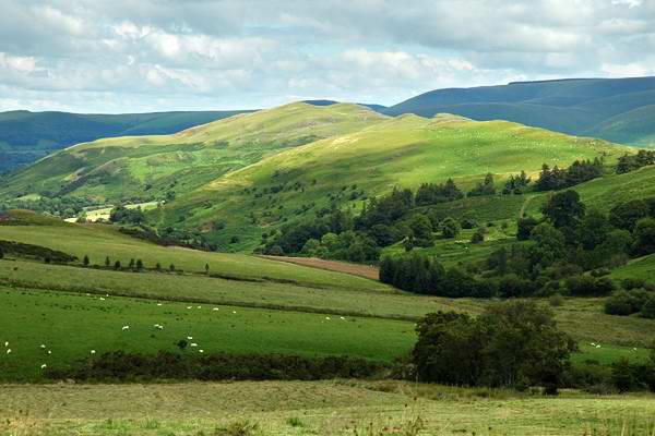
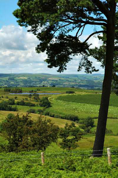
Llandegley Rocks is the north-eastern extremity of a ridge which
runs from near Llandrindod Wells, and marks the highest point,
which isn't saying a lot at about 1430'. The 2000' plus bulk of
Radnor Forest looms just a mile or two to the east - but, despite
its height, looks a lot less interesting. The village is about 800'
above sea level, so we didn't have to exert much effort to reach
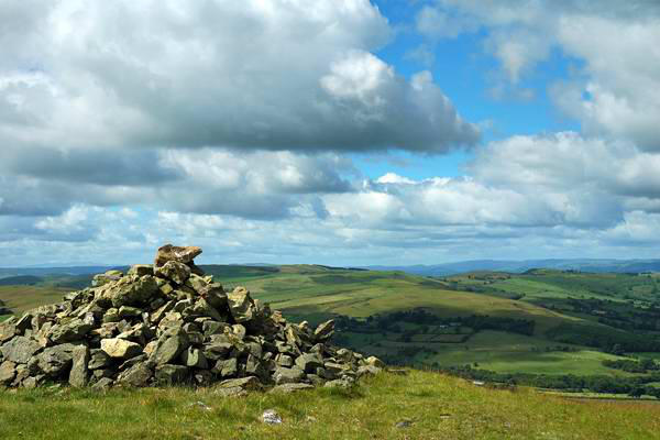
the top. Here begins an interesting exercise in route-finding -
these hills see few visitors, so there are no clear paths, though
the general direction is pretty obvious. There aren't many
waymarkers or public footpath signs either...
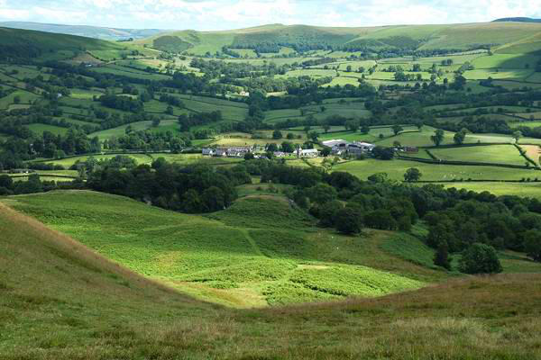
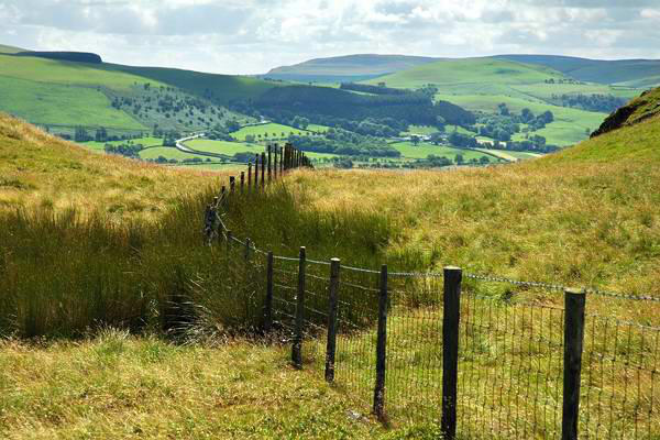
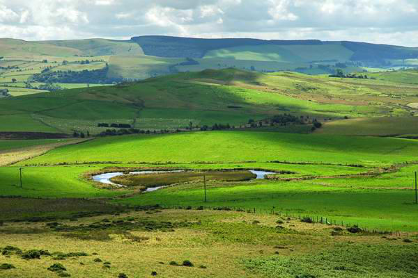
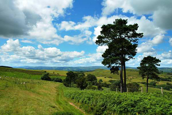
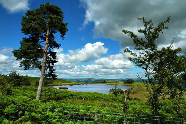
We had begun the walk heading south-west; at Bwlch-llwyn Bank,
a minor road crosses the ridge, and a clear track heads westwards
towards Llandrindod. A small lake catches the light a mile or two
away, more or less beside the path - scope for one or two photos
perhaps.
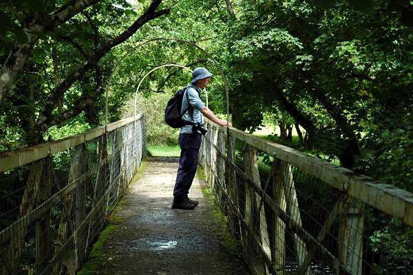
Eventually the track starts to
descend, and our route turns to the
north to drop down to the river
Ithon and the delightfully-named
"Shaky Bridge" (it's not very shaky
now, but photos from the turn of
the last century reveal an
altogether less stable construction).
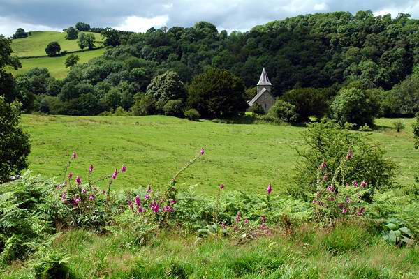
Across the bridge is the little church at Cefnllys - which can only
be visited by walking across the fields, there being no direct road
access.
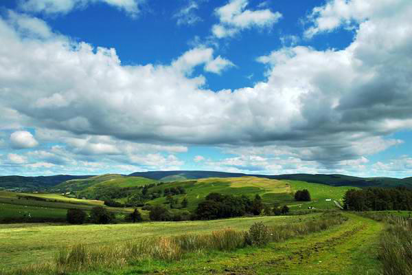
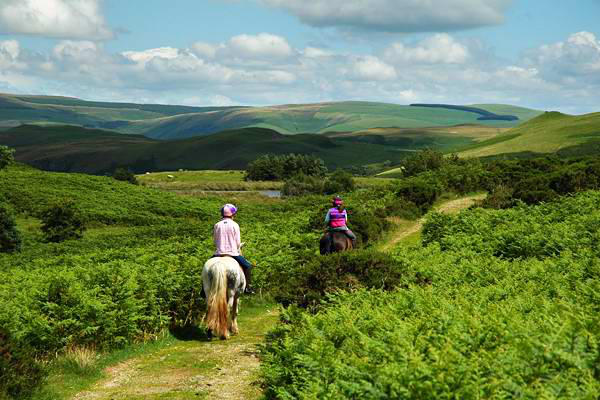
The most interesting part of the walk is now over. The remainder
was a pleasant stroll along very quiet lanes and field paths - more
interesting navigational problems, and no shortage of mud on this
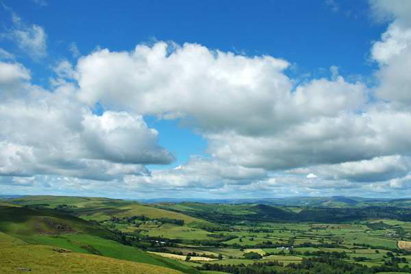
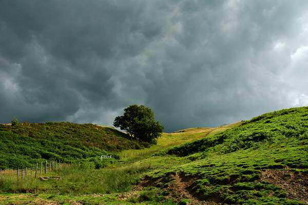
beautiful dry, pleasantly warm and breezy day, a scarce
commodity in this somewhat soggy summer (as I write this, the
day after the walk, I hear yet another rumble of thunder - more
rain to come...)