Five exceptionally hot days in England's northernmost county - July 2006


Walks with a Camera © Geoff’s Pages 2011
The weather had been warm over the
weekend - and it was forecast to get
warmer, with Wednesday possibly being
England's hottest July day since 1911 - not
ideal weather for walking in the hills,
though we already had some ideas for
coping with the heat. In the meantime, a little entertainment for
the outward journey...
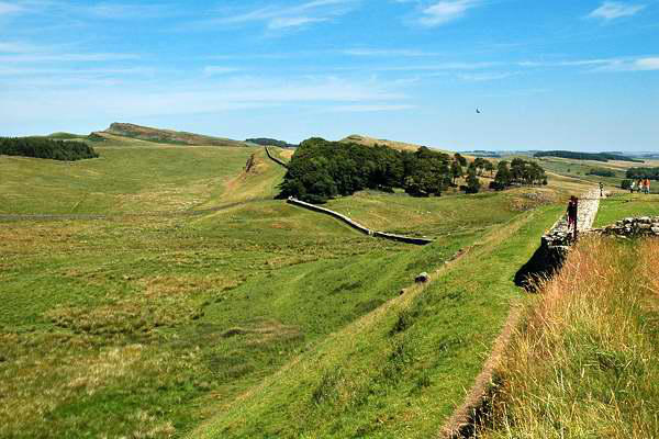
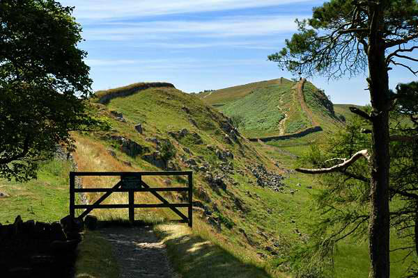
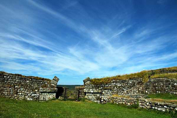
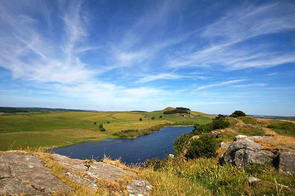
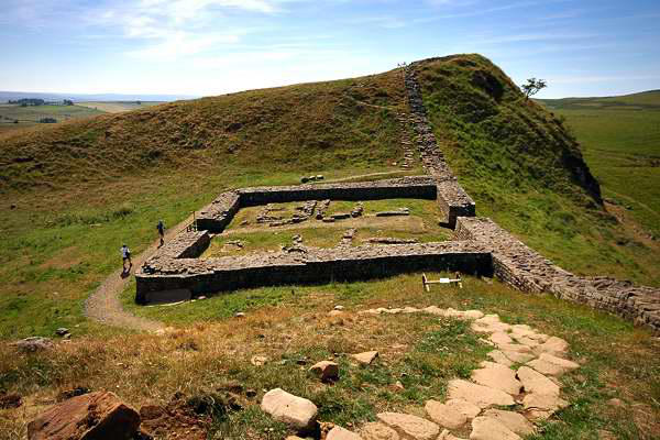
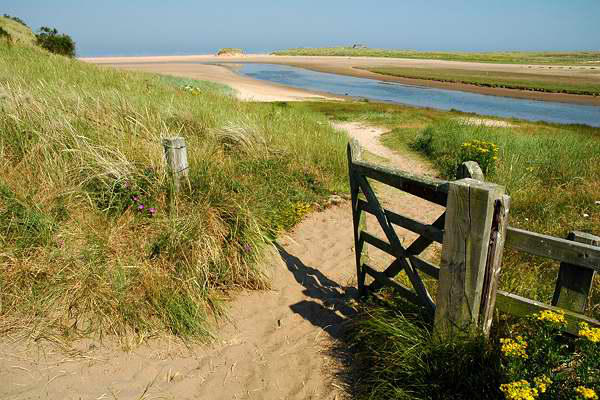
We parked at Housesteads and joined the wall for a stroll along
perhaps the most scenic stretch - armed with the bus timetable
(the appropriately-named AD122 service),
we would head east, and return by public
transport.
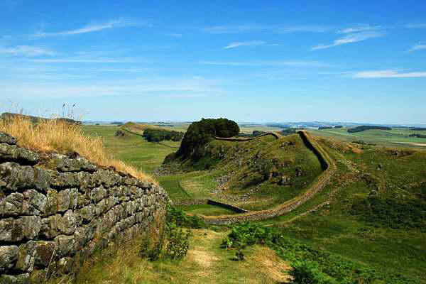
Hotbank Crags certainly earned their name
on this afternoon; the rocky outcrop above
Crag Lough provided a fine breezy place for
a break. By the time we descended from Steel Rigg, the gentle
stroll down to Once Brewed seemed infinitely preferable to our
initial intentions to walk on to the Milestone Inn. We'd have time
for a cool drink before the bus arrived too!
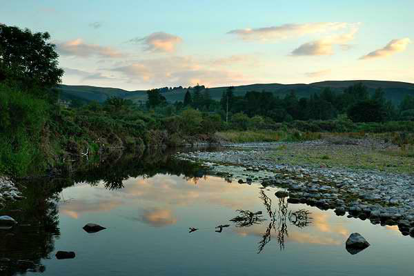
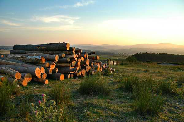
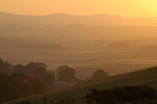
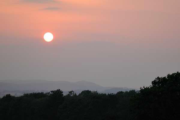
Our overnight accommodation for this trip
was near Ingram, where the Breamish Valley
leaves the hills and begins to broaden. The
fine warm evenings provided some excellent
opportunities for photography - so I'll end
each day with a selection of the results

Day 1: Hadrian's Wall


Day 2: Longhoughton to Seahouses
The Cheviots will have to wait - it's going to be
much too hot! We took the car to Seahouses, and
joined the coastal bus service for a ride down to
Longhoughton, where a short stroll along a quiet
road would take us to the coastal path. Not that
we needed to follow the path all the way - the low
tide meant we could walk on the shore where that
was possible.
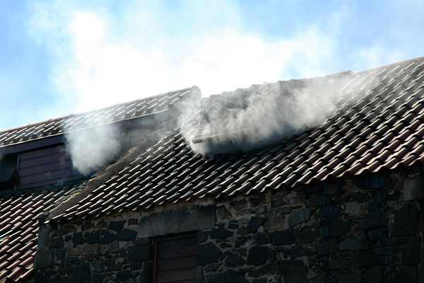
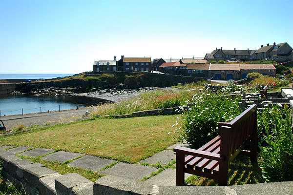
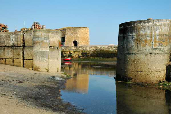
First place of significance on the route is the little fishing harbour
of Craster. Smoke billows from the roof of Robson's - and the
aroma on the breeze reminds you that it's supposed to - sadly,
none of the famous kippers appeared on any of the menus we
were to see during our trip.
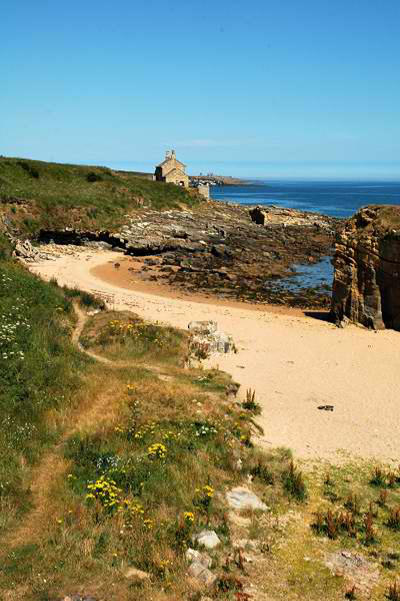
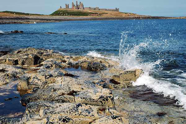
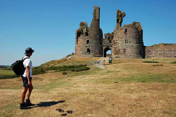
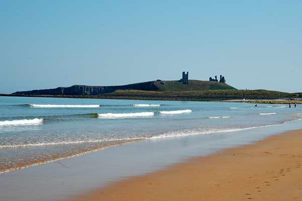
A gentle - and very popular - stroll from Craster leads to the
dramatic remains of the isolated Dunstanburgh Castle.
Photography is obligatory here!
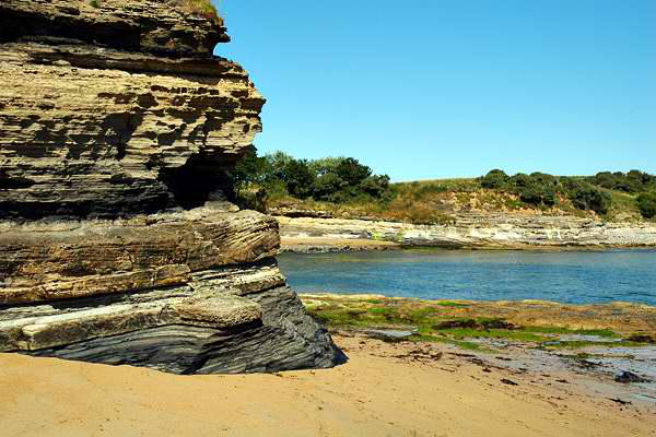
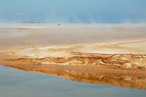
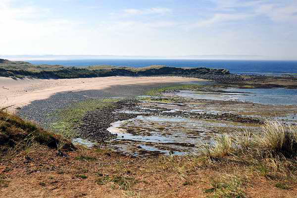
Northwards again - now along the fine sands of Embleton bay. I
have to admit that, for half-an-hour or so, the boots and socks
came off and we had a paddle! Well, it was rather warm, despite
the pleasant sea breezes. The aforementioned breezes, wafting in
off the North Sea, gave some hints as to what lay in store for
tomorrow, as mists began to form and drift eerily across the sands
- a phenomenon that would accompany us for most of the route
back to Seahouses.
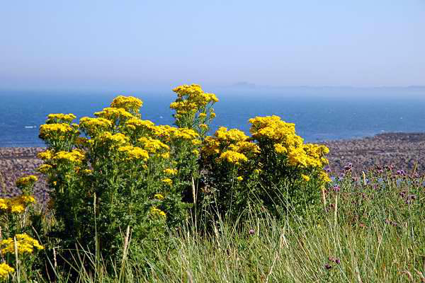
After Low Newton-by-the-sea, to give it its correct title, the path
leaves the shore, instead winding through the dunes, with their
acres of ragwort and cinnabar moths. The separation from the
sea, and that breeze, meant that we began to feel the heat now,
and it was with some relief that we were able to rejoin the shore
for the last stretch to Beadnell. We perhaps
should have caught the bus from Beadnell -
the last stretch, to Seahouses, despite a
section of shoreline, was not the highlight
of this walk. I think we'd walked far
enough!
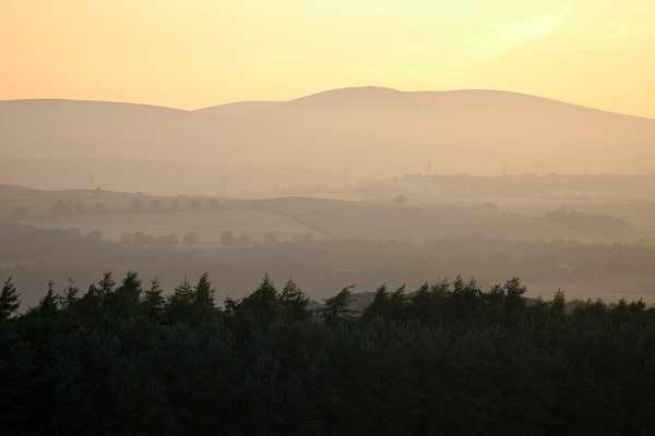
We've had a shower, and
eaten - time for a few snaps
before a well-earned pint.
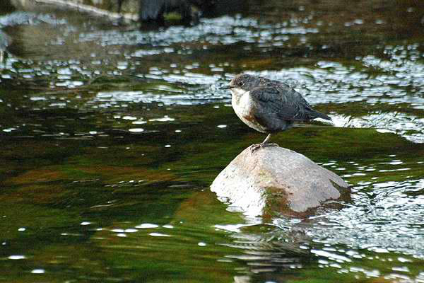
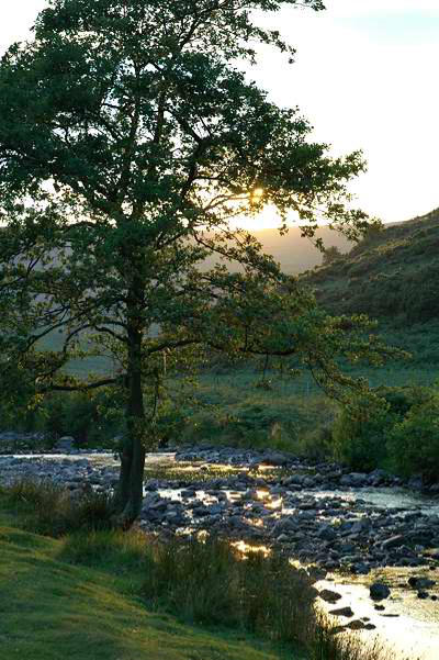
This evening we ventured a
little further up the
Breamish valley, where we
were rewarded by this sight of a dipper - a young
one, we thought, enjoying the evening sunshine


Day 3: Farne Islands and Lindisfarne
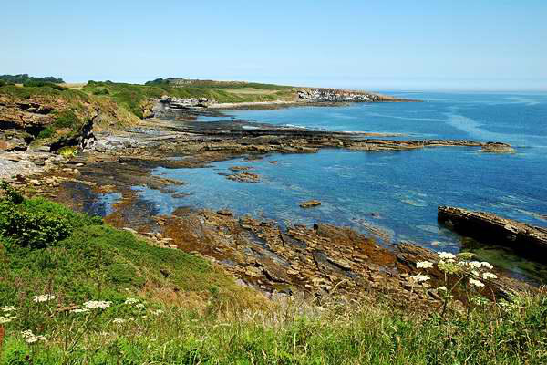
runs along the North Sea coast, and we followed
this to the quiet coves to the north. Here, on
England's hottest July day ever, the beautiful sandy
beaches were quite deserted, little over half a
mile from the public road. The sun had now more-
or-less burned away the remains of the sea fret,
and it was a very pleasant, not uncomfortably
warm afternoon.
This was a "shortie", perhaps 4 miles, and we were soon back to
the car. We had, I felt, made a pretty good stab at getting the
best out of this extreme weather (I was confident that tomorrow
would be cooler).
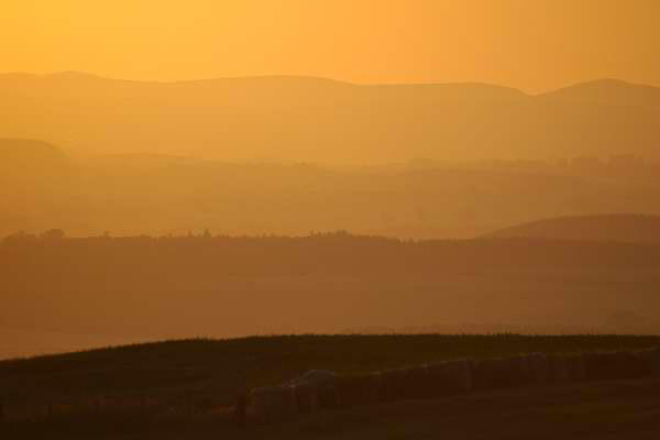
This evening's photos were taken in the quiet, gently hilly country
between Eglingham and the main A697 road, as the sun went down
behind the Cheviots.
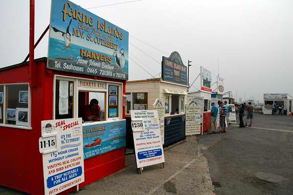
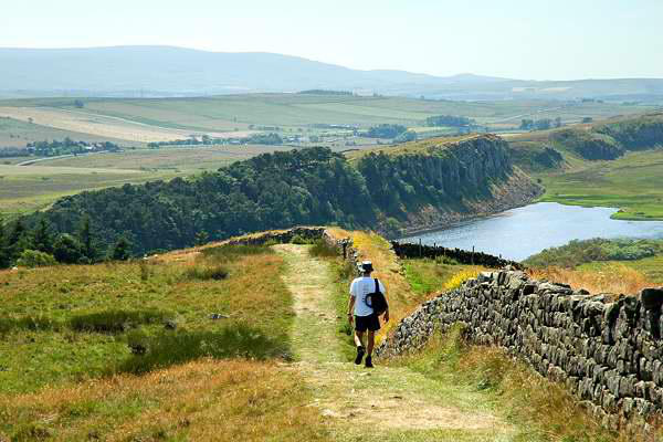
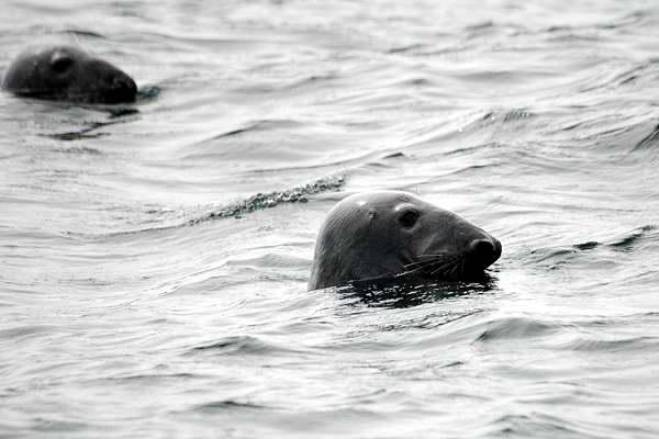
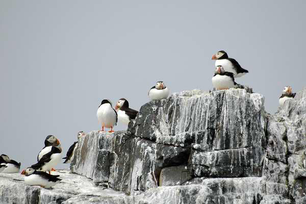
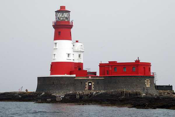
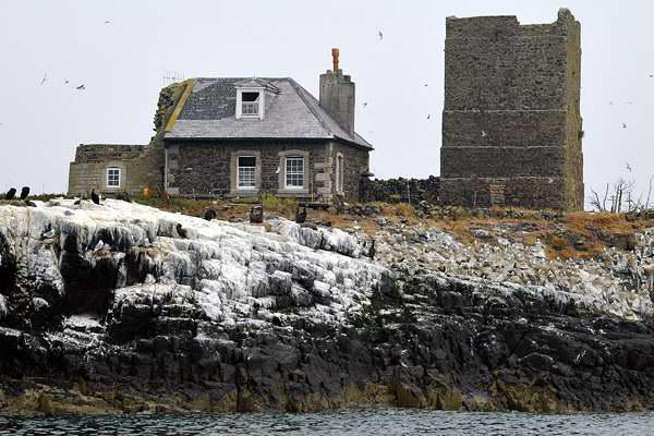
With the highest temperatures promised for
today, we decided to take a trip out to sea -
across to the Farne Islands, to see the
noted colonies of seabirds. We almost didn't
- yesterday's mists had turned into a sea
fret - it was cold and foggy in Seahouses, to
the extent that the far end of the harbour was lost in the mist,
never mind the Farne Islands. But even at this early stage, there
were signs of the sun trying to break through - we decided to go
for it.
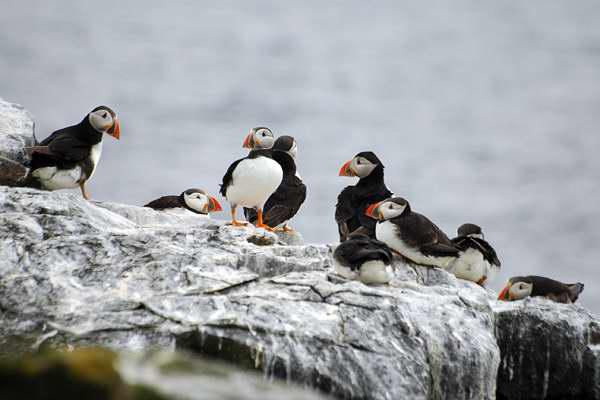
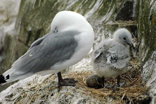
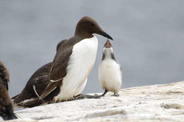
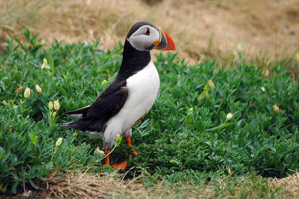
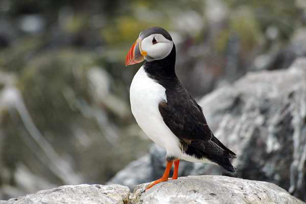
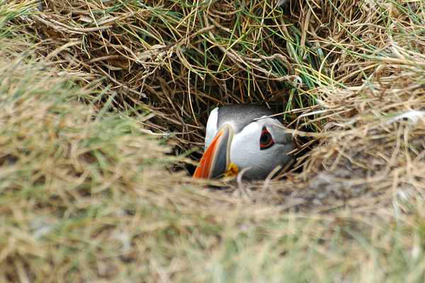
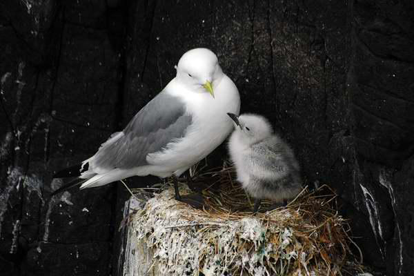
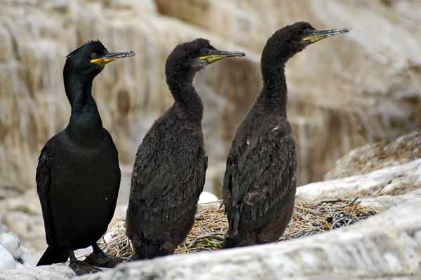
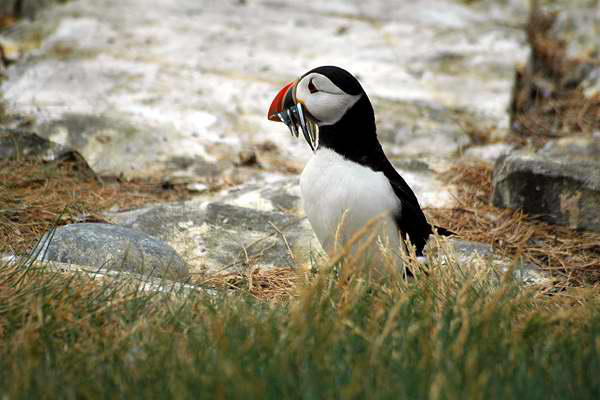
It wasn't warm - I suspect we were the coolest people in England
as we wandered around Staple Island, the National Trust bird
reserve. But it wasn't cold either, and the main assaults on the
senses came in other forms - the noise of the nesting birds, and
the stench! A group of teenage schoolchildren were visiting -
several staggered around clutching handkerchiefs to their noses,
in an exaggerated display of disapproval at being brought to such
an appalling place! The birds didn't seem to mind, and did their
utmost to pose for our cameras.
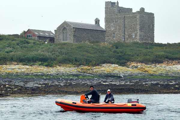
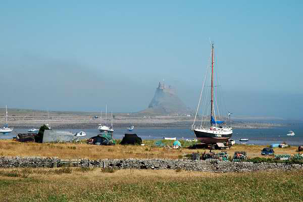
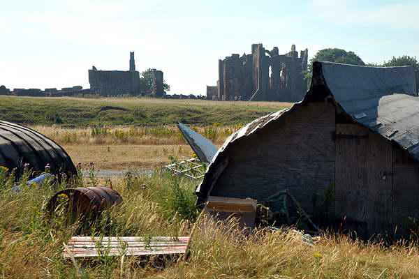
On returning to Seahouses, we drove the short distance up the
coast to Lindisfarne. Low tide would be mid-afternoon, so there
would be no problems crossing the tidal causeway. I had last
visited the island some 20 years ago, again in July, and thought
what a quiet place it was. Now, tourism has really taken off, and
the short walk into the village, out past the priory, then around to
the castle, was probably one of the busiest to have appeared on
these pages. Beyond the castle, the trackbed of an old wagonway


Day 4: A Cheviot Walk
A dull, grey morning - the mist was down on the nearby hilltops as
we had our breakfasts. Nevertheless, the forecast wasn't too bad -
so we headed for the hills.
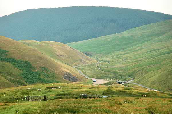
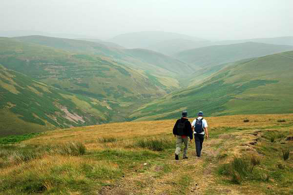
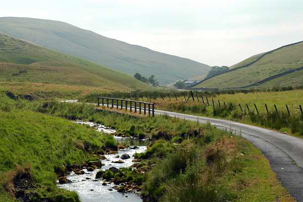
The river Coquet follows a long, winding course
from its source high in the hills - we would follow a
similar long, winding course on the road to
Blindburn, where this walk would begin. From the
small car park (one other car...) we began perhaps
the steepest part of today's walk, following the
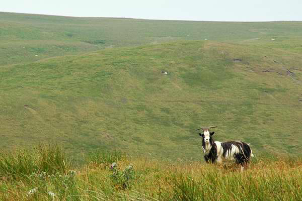
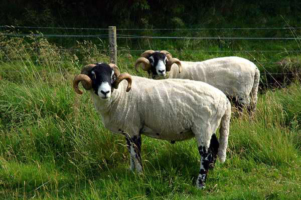
"Border Country Ride" past sheep and (wild?) goats,
onto the grassy slopes of Deel's Hill, and beyond to
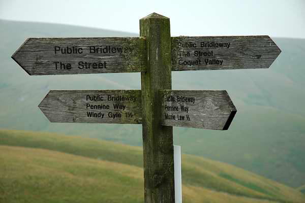
the Scottish border and the Pennine Way, perhaps a
bit of a misnomer in these parts.
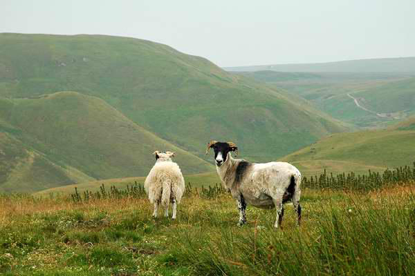
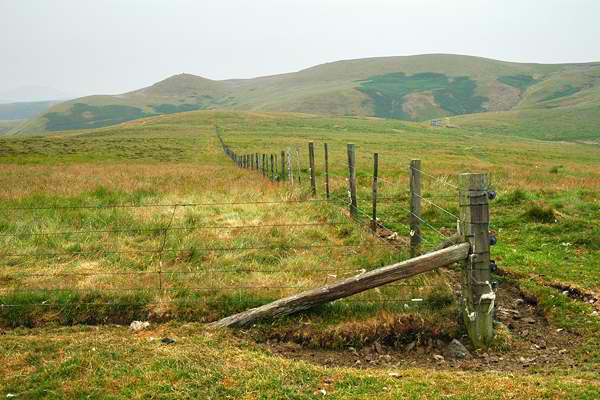
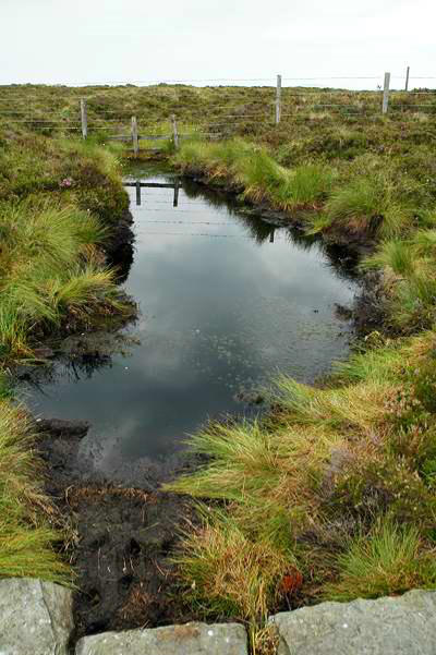
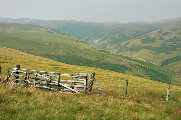
We followed the border northwards in the cool, damp air - a light
drizzle had developed, but it never really came to anything,
hardly worth the waterproofs. The border summits
sound edible - there's Lamb Hill, then Beefstand
Hill, then (perhaps a reversal of roles) Mozie Law.
These are lonely hills - we saw just one person
throughout the entire walk, a poor chap with ski-
sticks looking desperately for some snow (and his
skis). I would say quiet too - but that's not strictly
true, for the MOD ranges are just the other side of
the Coquet, and the distant artillery fire added a
certain je ne sais quoi to the walk...
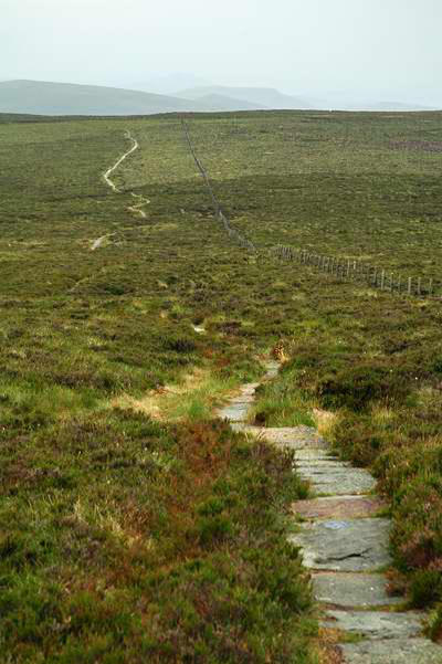
Shortly after Mozie Law, an old (Roman, I think) way - named on
maps as "The Street" - crosses the ridge. We joined this as the
weather brightened for our return route towards to the Coquet,
finally turning right and descending to Blindburn and the car. A
most enjoyable expedition.
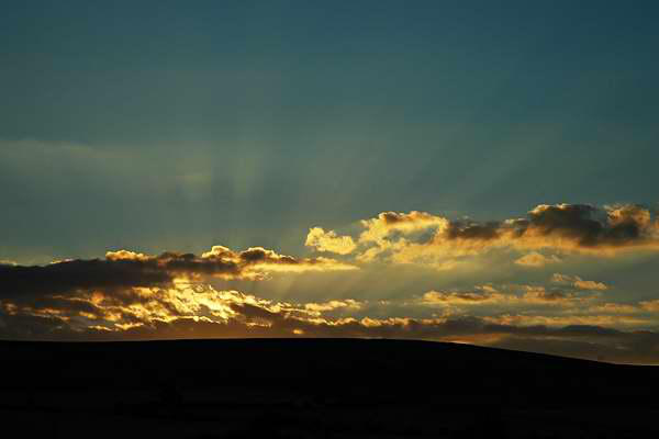
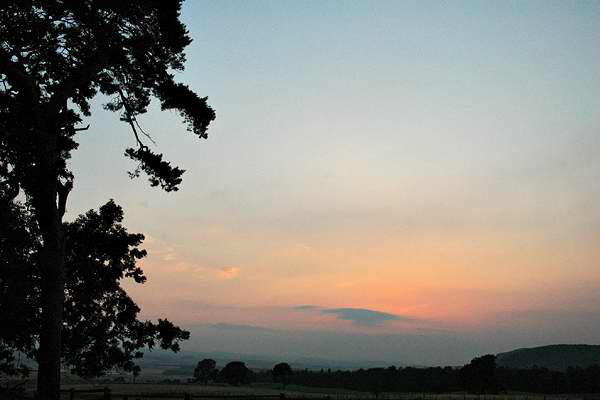
Our last evening in
Northumberland - the
sun lowers towards
the Cheviots, seen
not far from
Hedgeley


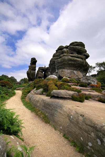
Day 5: Homeward
The weather was warm for our return journey, and we needed a
little leg stretch (and perhaps some photographic opportunities).
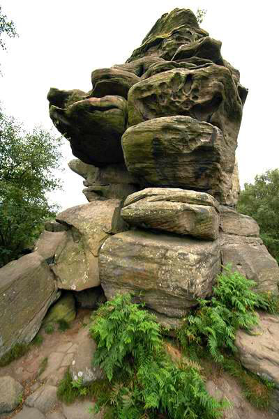
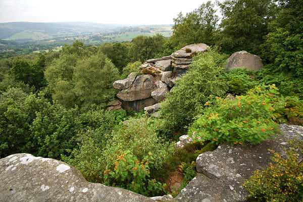
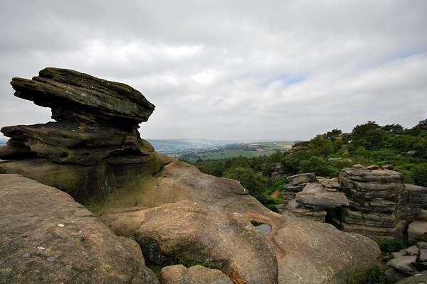
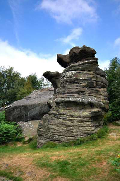
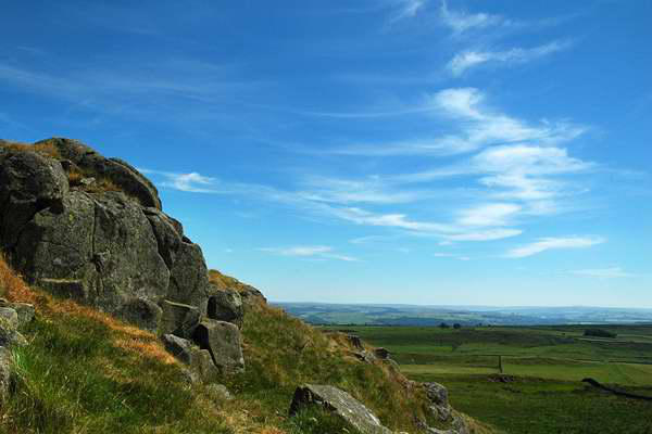
Neither of my colleagues had been to Brimham Rocks, near Pateley
Bridge in Yorkshire, so we called in there for a wander and a few
snaps (and an ice-cream) before heading
westwards for the joy that is the M6...