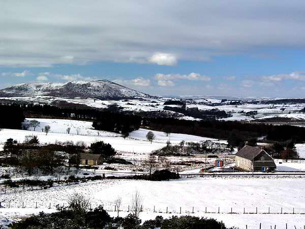
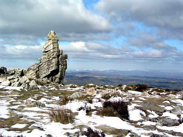
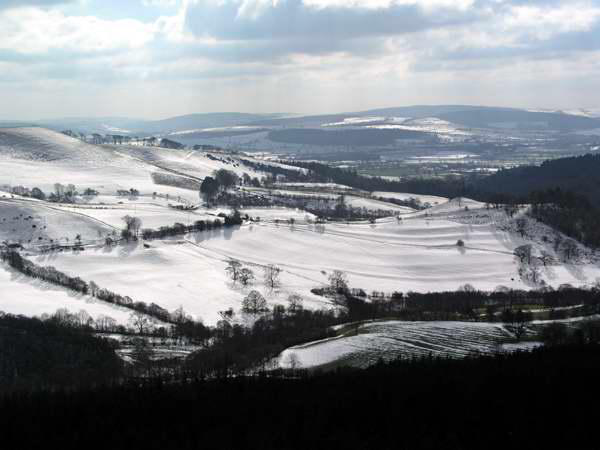
The southern part of the ridge on a cold snowy day, February 2004


Walks with a Camera © Geoff’s Pages 2011
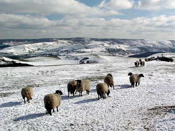
We'd been promising ourselves a leg stretch for a few weeks. The
bitter cold weather at the end of the month had sprinkled the
Shropshire hills with a reasonable cover, and with a fine day
forecast, we headed for the Stiperstones.
Just over a year previously, we had walked the northern part of
the ridge, from Lord's Hill to the Devil's Chair and back. Today, we
parked at The Bog, and followed the path behind Bog Hill Farm,
then joining the path from Pennerley, skirting the southern edge
of Perkins Beach before gaining the ridge just a little to the north
of the Devil's Chair.
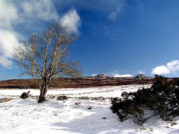
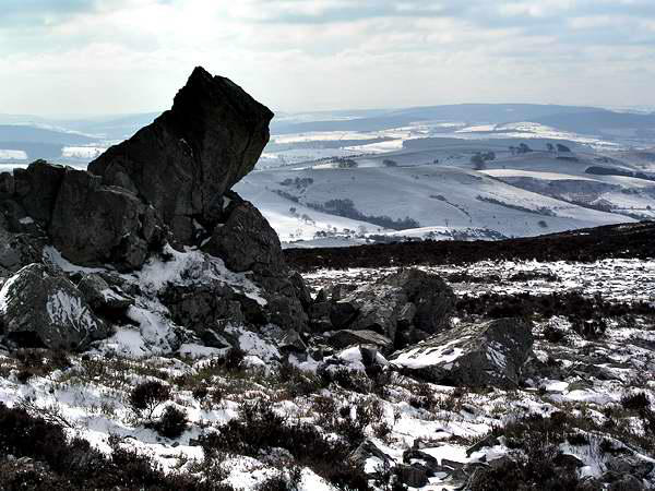
From here the route follows the ridge southwards, passing the
white quartzite tors which make the Stiperstones a distinctive
landmark. Dropping from Cranberry Rock to the Bog - Bridges
road, the ridge becomes a high grassy plateau - before once again
regaining the rough moorland near Nipstone Rock. Not so long ago
most of this area was coniferous forest - recently cleared, the
area is gradually reverting to its original state.
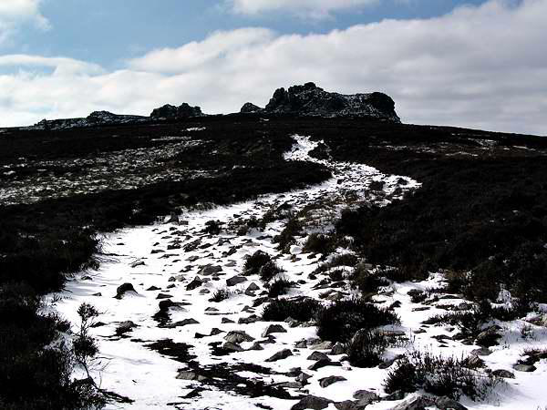
The ridge ends quite markedly at "The Rock" - a superb viewpoint
for the hill country to the south - and, after retracing our steps
for a short way, we returned to the road and made our way back
to the car.